![]()
Table of Contents
Introduction
Click here for the video.
The Lemp/Cherokee Cave has its own unique history (and mysteries) associated with it which are mostly intertwined with, but in some cases independent of, the Lemp Brewery in Saint Louis, Missouri. A handful of notable authors have contributed to the history of the brewery itself, but in the case of the cave there is one "must-read". It is Missouri Speleology Volume 58 by Joe Light. This is the definitive work on the subject; Everything which could be known about the cave, by the experts who documented and compiled that information, is included therein. I have no desire, nor ability, to compete in that arena.
What follows below is a comprehensive visual tour of the entire Lemp/Cherokee Cave which lies beneath the Lemp Brewery. My contributions to this topic will primarily consist of photography and video of the cave which I captured on various expeditions* and which will serve to expand upon the existing documentation of the site. This article also includes maps of the cave along with some notable historic photos and information.
Rumors about a spooky brewery under which a legendary cave is said to exist (a cave which contains unbelievable features like a theater and a heated pool) would have any reasonable person dying to know and/or see more. And yet, the visual documentation of the cave up to this point has always been rather limited. Even the MSS book only includes a few photos and although high-quality, they are but a small taste of the space. Photography, of course, was not the purpose or driving factor of that book.
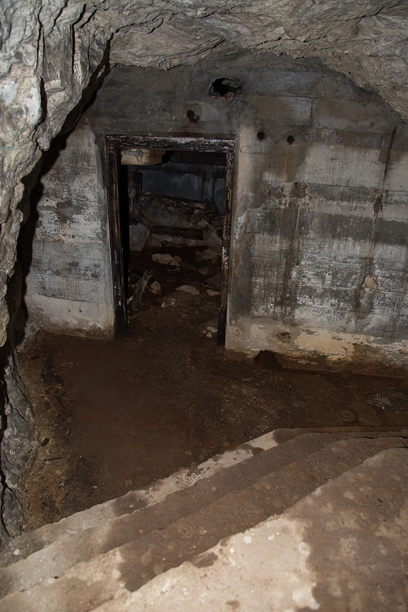
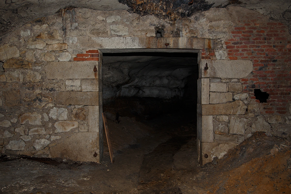
To get this out of the way first: There is no alternate route into or out of this cave and there hasn't been for a very long time. My colleagues and I* followed every last possible crawlspace/passage/etc throughout this cave on many different trips. There is no-one alive today who has accessed this cave from any "nearby house/business' basement" (unless it was via the rumored Lemp Mansion tunnel), etc. Furthermore, the haunted house never went into the cave and it still doesn't. While their misleading advertisements may claim that they do, they definitely do not. The haunted house extends no further than the cellars just outside of the "Iron Door" and the cave. The Iron Door to the cave in the cellars is now the last/only access to the cave and this has been the case for a long time. The only other entrance that has been sealed as recently as the last dozen or so decades is also firmly within the borders of the Lemp property.
*allegedly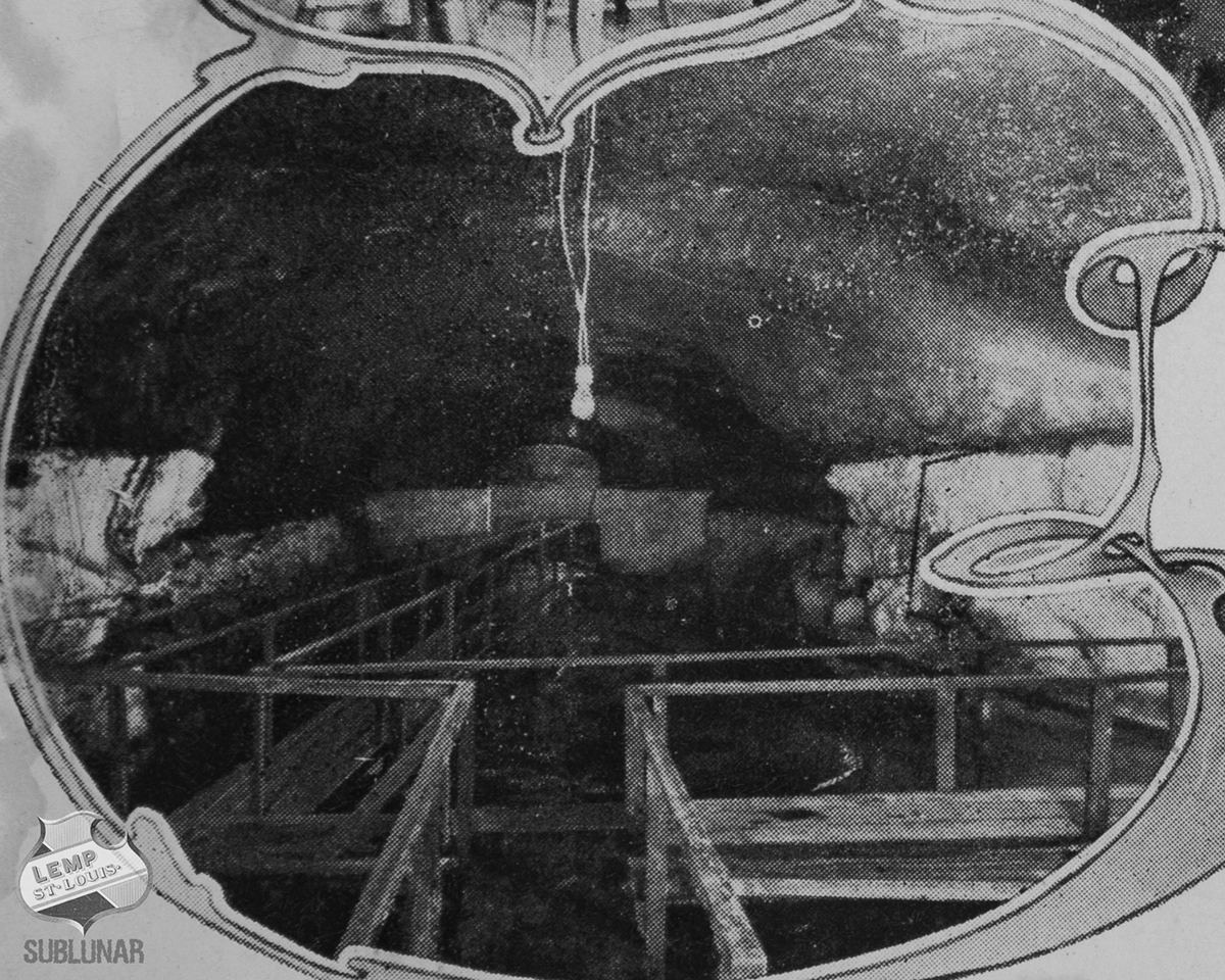
Tours of the Lemp Cave Through History
1874 [18]: "You pass down a flight of steps, when, by the sudden darkness, you are soon made conscious that you are leaving the light of earth, and ending in darkness. Here a workman comes forward and supplies us with a torch, which enables us to find our way. As we pass through the aisles of those different vaults in which on either hand and above are great rows of tanks containing hundreds of barrels of lager, a hollow sound or echo is heard, and despite yourself you inwardly feel a kind of awe which is indescribable. One of the largest cellars in this family of underground chambers is a natural cave, eaten out of the solid rock by the slow process of nature, and in the ceilings are traceable the impressions left by the fossils of crawling creatures ; especially is this noticeable in the shape of a large turtle, the impression being perfect, even to the head, legs, and tail. These fine vaults enjoy a storage capacity of 25,000 barrels, and it is here that beer gets its proper age before drinking".
1875 [28]: "Descending from the brewery with lamp in hand, we see by the glimmering light long rows of those immense casks in which the beer is kept while maturing. With the foreman, who evidently knows each foot of that changing labyrinth, we traverse passage after passage with casks on each side and flagging under foot. Again and again we descend to lower depths, and then, at last, through a vaulted way hewn in the solid rock, we see that we are in the cave. Here is a natural cavern with a comparatively smooth horizontal roof overhead, scarred and discolored in places, yet showing no marks of the mason's chisel except where the stalactites have been hewn off. This roof maintains a uniform height of about twelve feet. Underfoot is a firm floor of rock and shale, and we stand about fifty feet below the surface of the ground. This natural cave, so admirably adapted for its purpose, is about seven hundred feet in length, and is piled on either side with casks. The whole number of these immense casks ranges somewhere between eight hundred and one thousand. Near the entrance is a natural curiosity, the exact impression of a large turtle in the roof overhead. The monster was caught and imbedded in a plastic mold when nature was making the cavern in which the foaming beverage of the people was to mellow and ripen".
1904 [12]: "At the Lemp brewery it was also open house. The novelty of this visit was a trip to the cave, discovered some seventy years ago and used in the early days of the brewery for storage in aging the beer. This cave extends 150 feet and is about 70 feet underground. The entire party put on rubber coats and explored the cellar, sub-cellar, and sub sub-cellar, (the largest cellarage in the world) where the famous Lemp's brew, millions of gallons of it, is aging in the old fashioned natural and best way. The largest barrel in the cellar holds $9,000 worth of beer, and it is quite a walk around it".
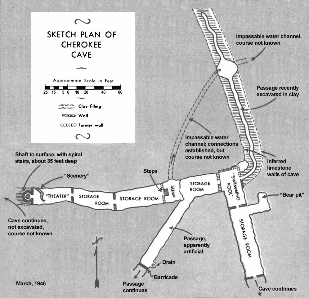
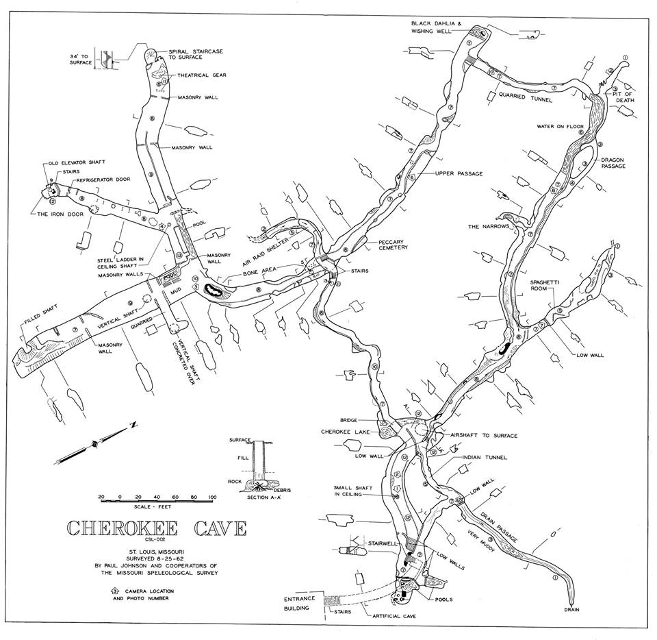
Maps of Lemp/Cherokee Cave
A Tour of The Lemp/Cherokee Cave - Modern Day
Any proper tour of the cave would necessarily reference the above 1962 map for directions and notable landmarks.
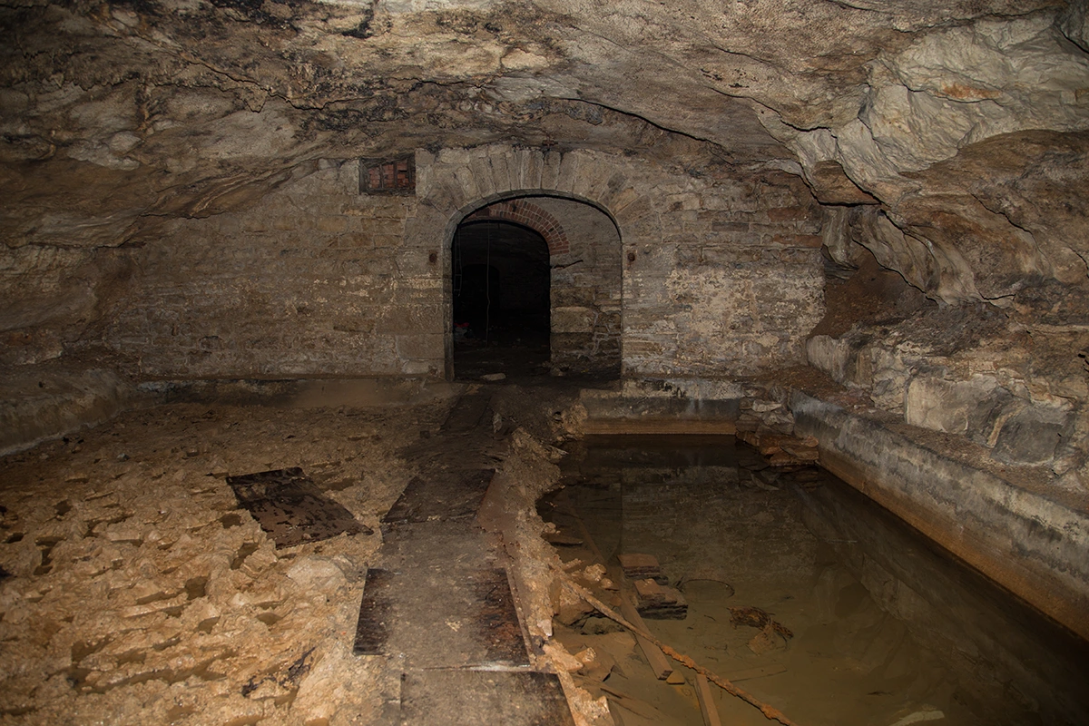
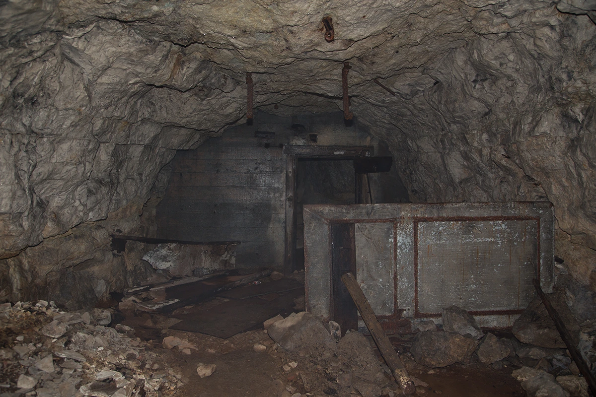
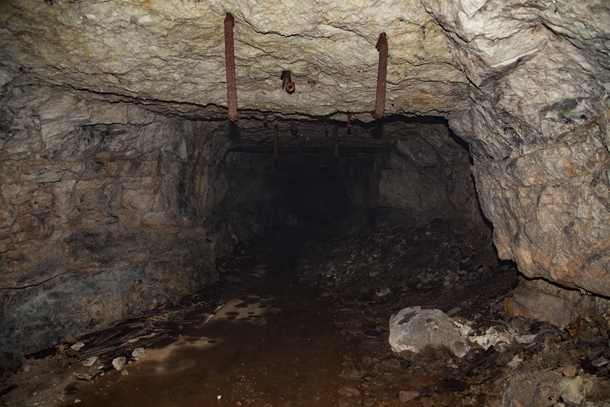
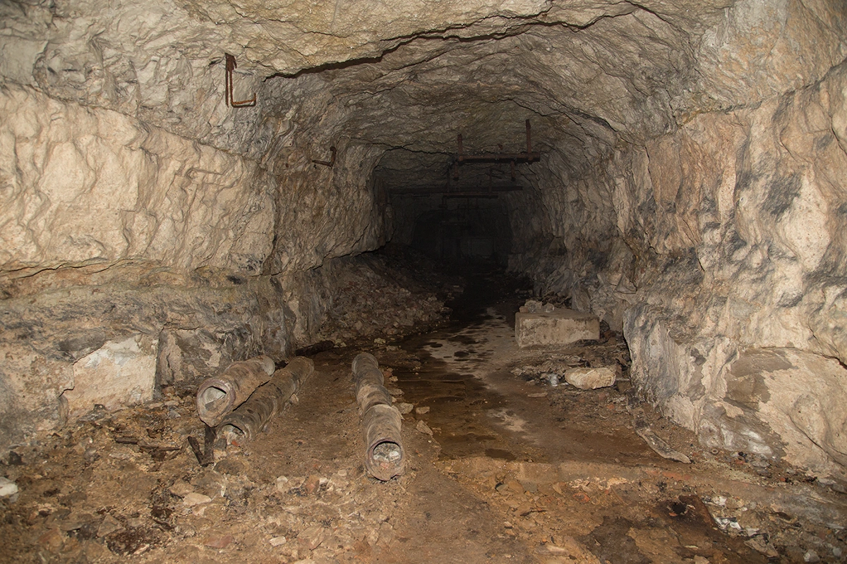
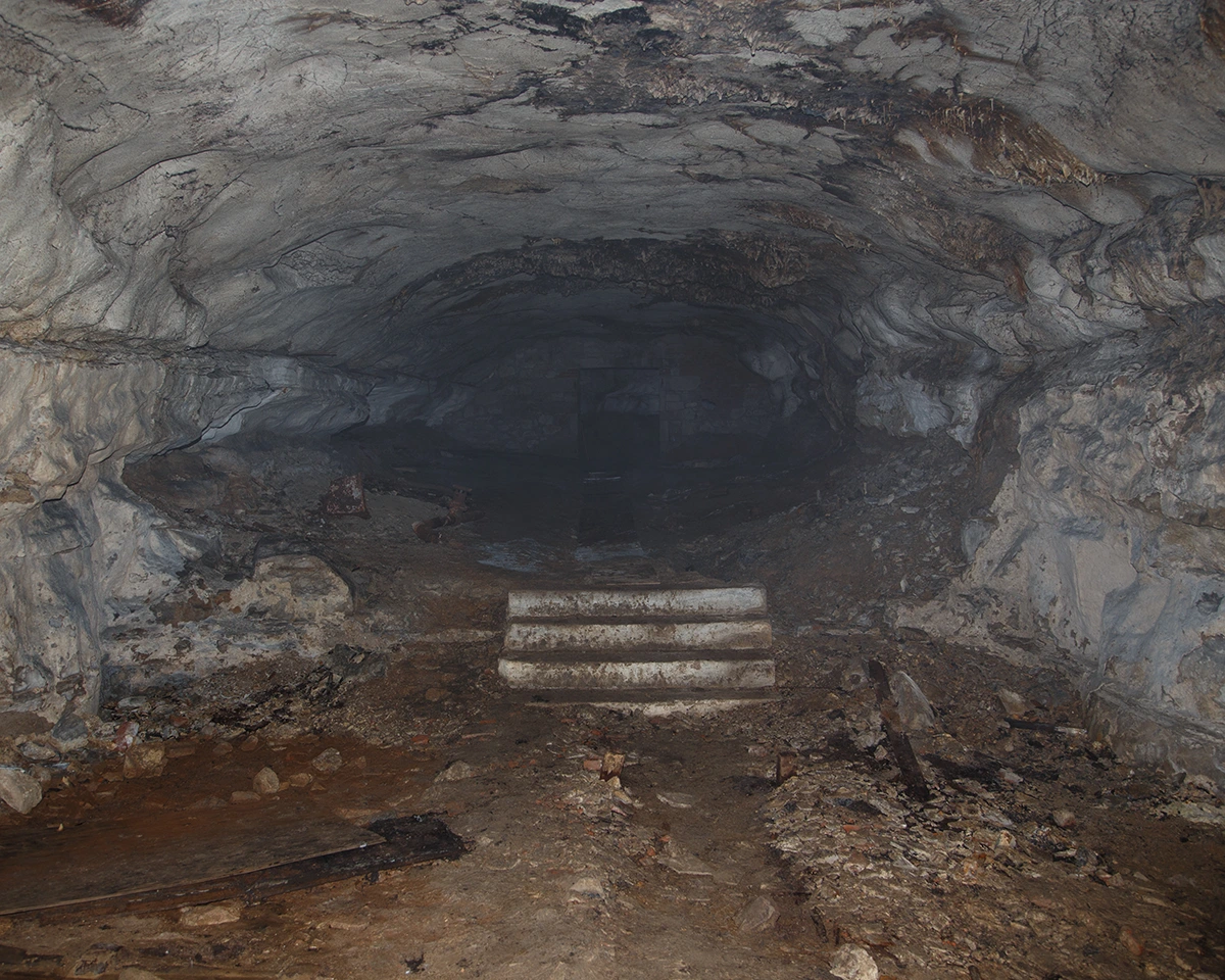
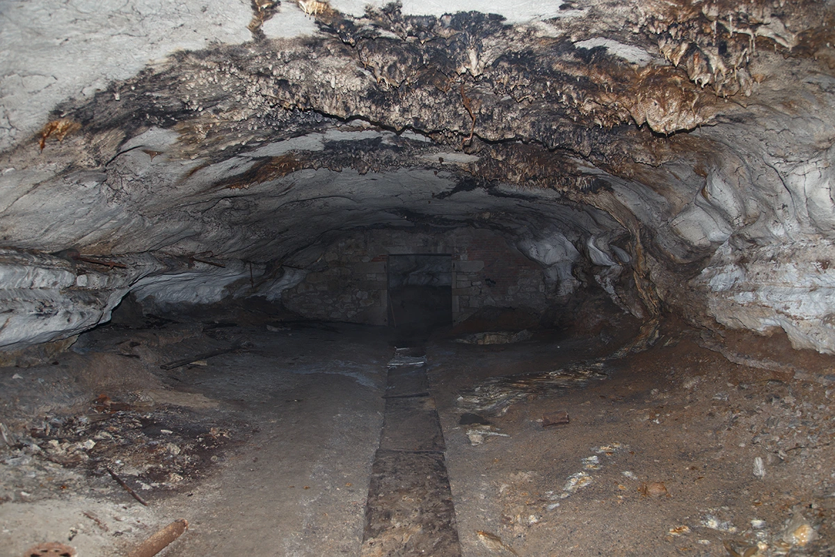
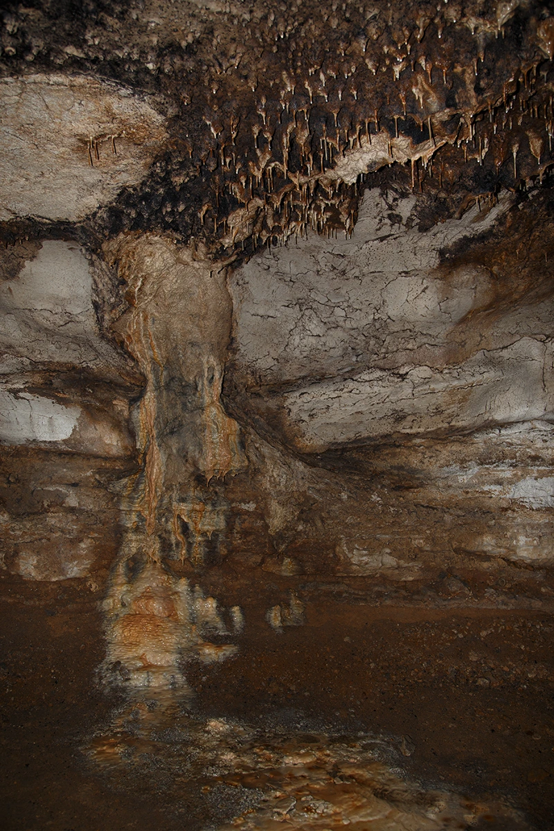
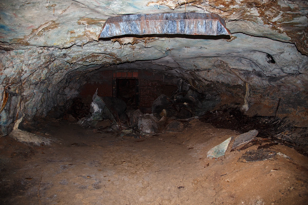
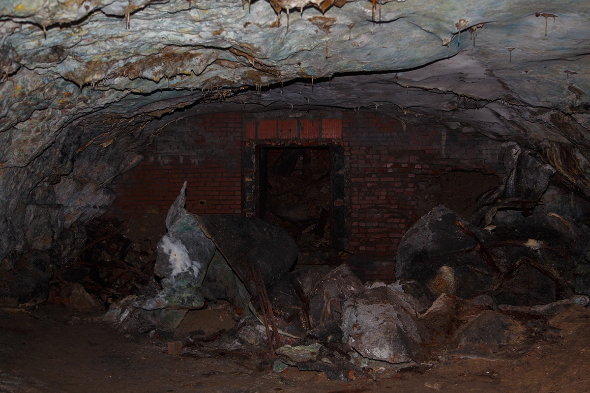
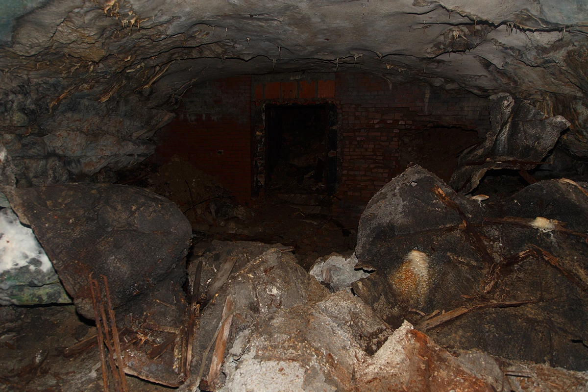
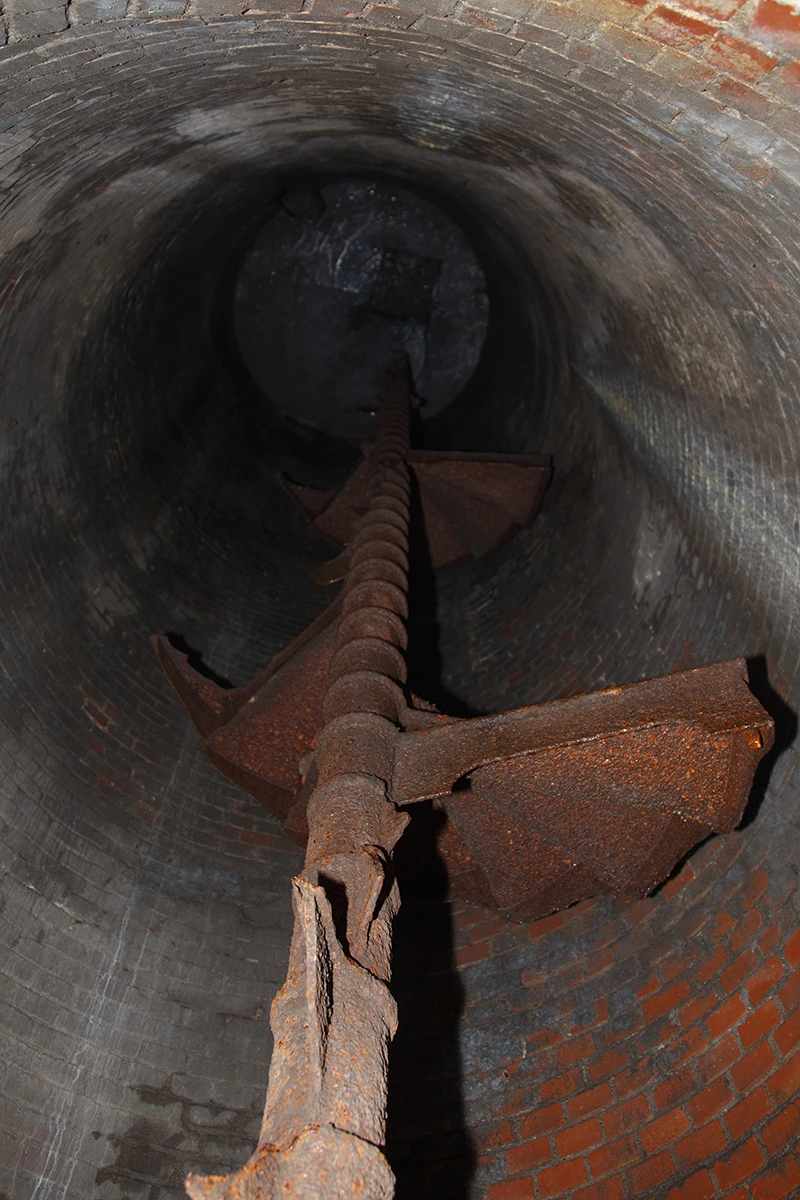
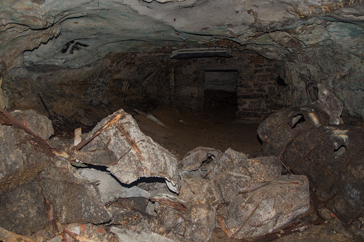
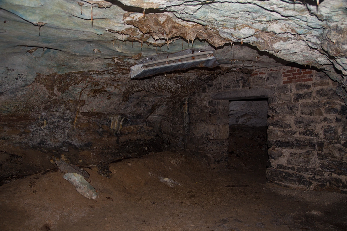
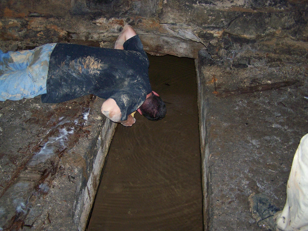
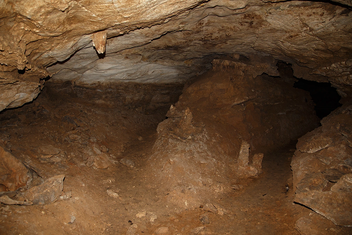
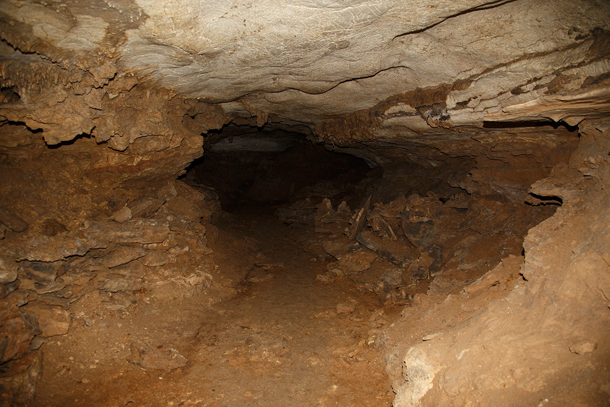
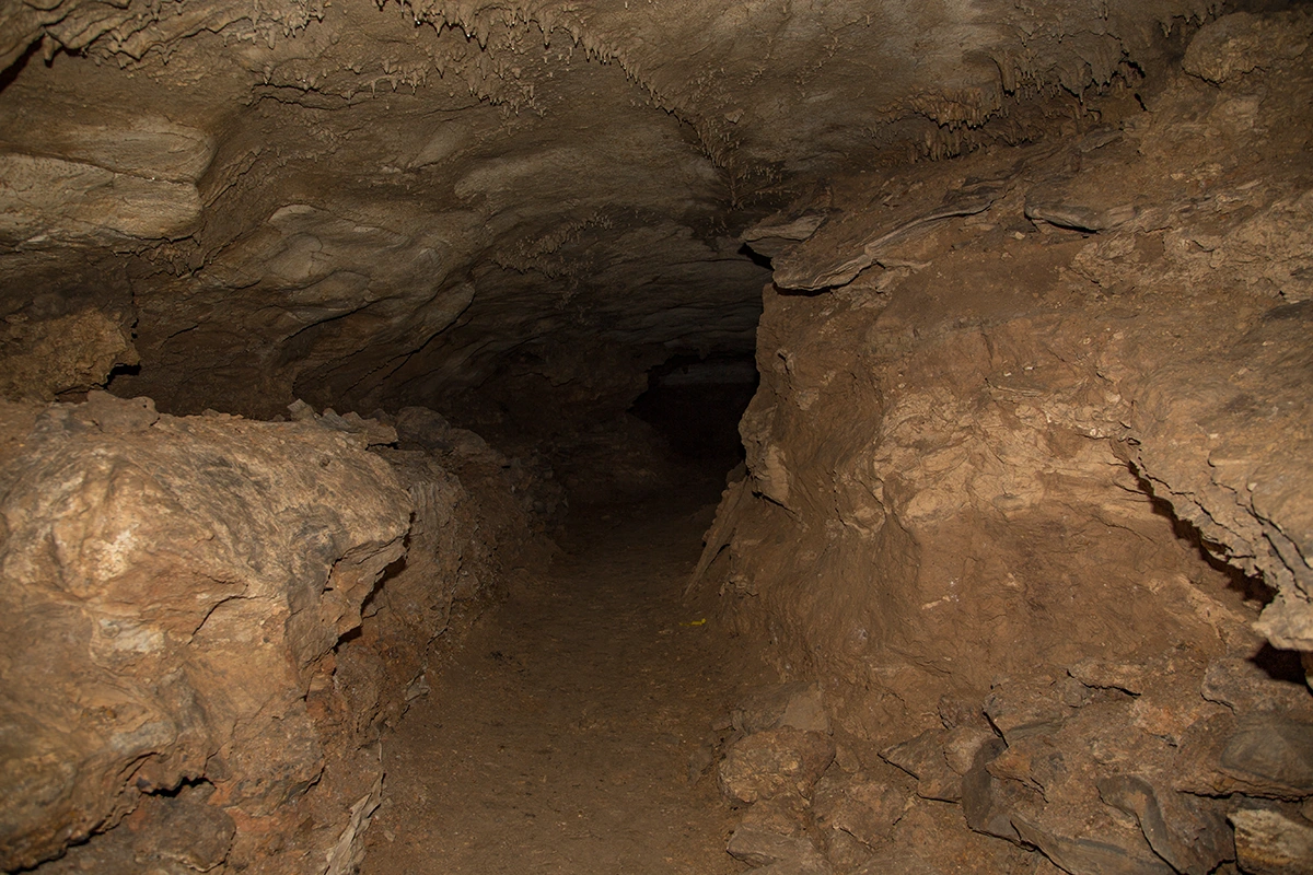
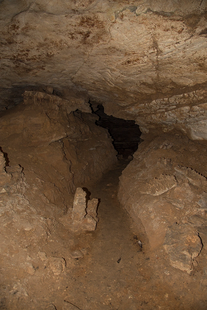
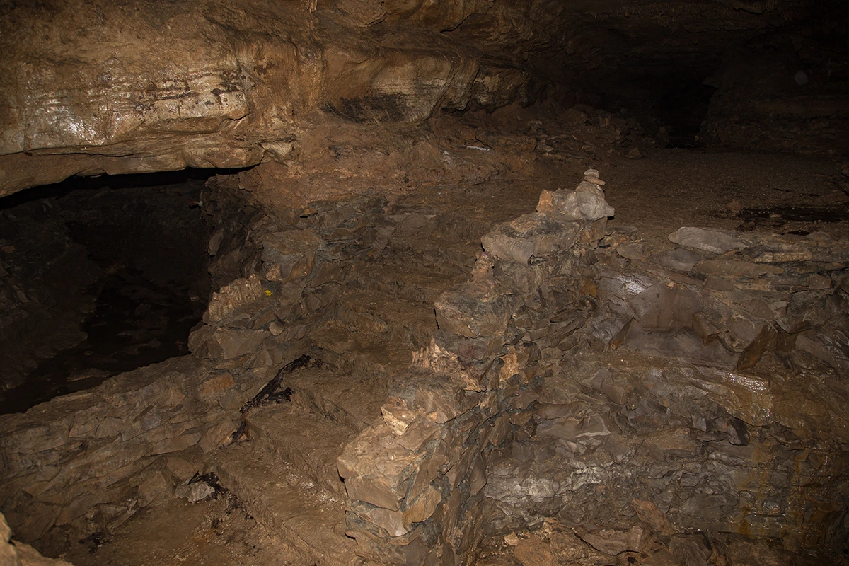
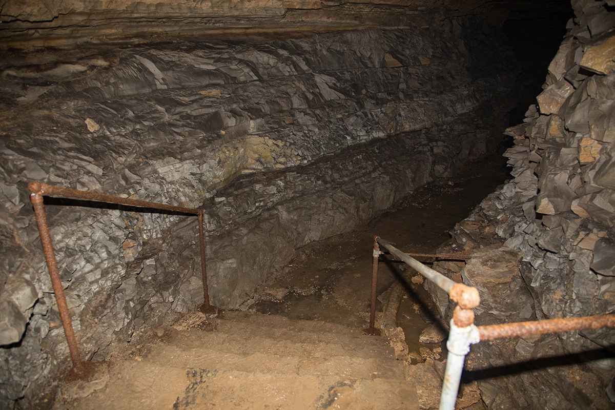
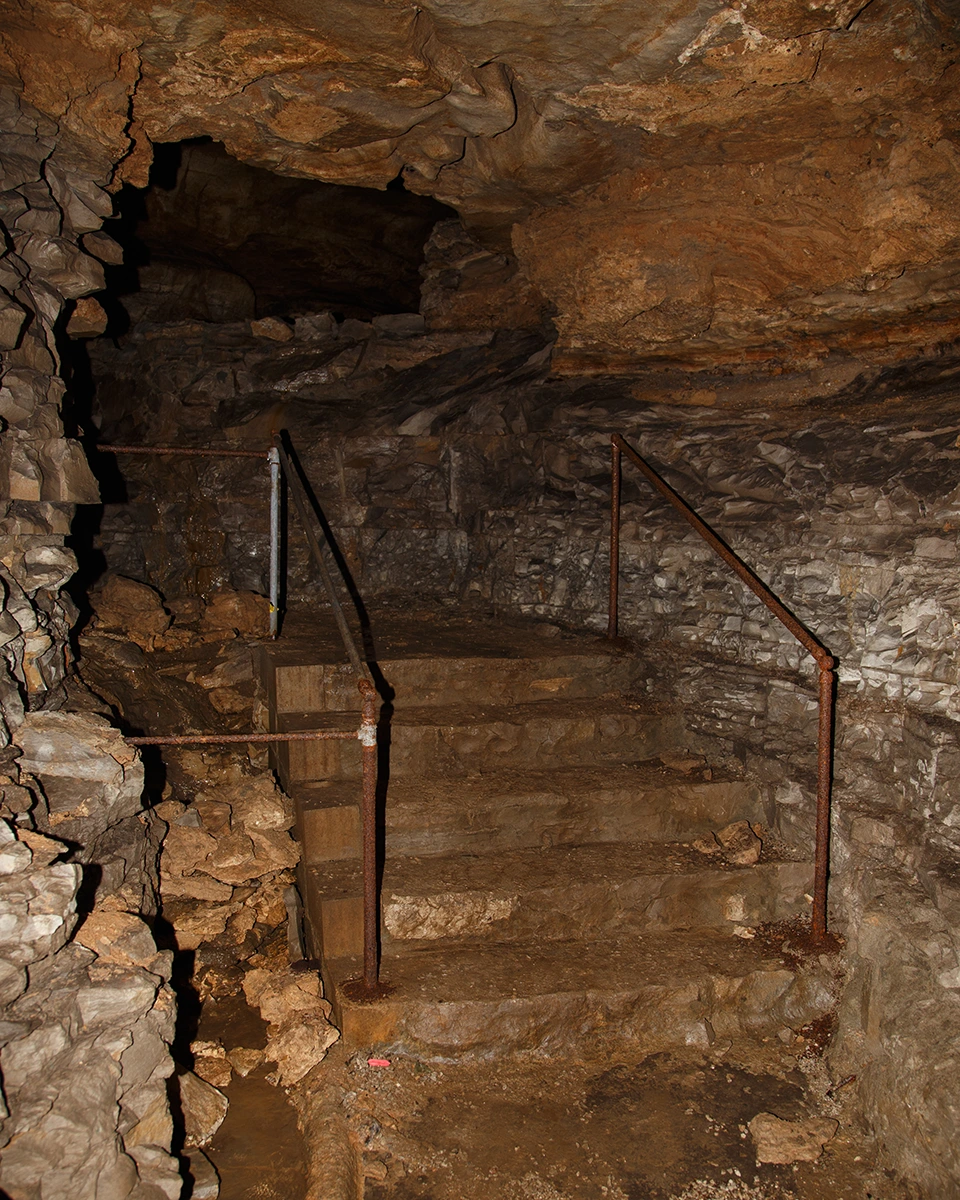
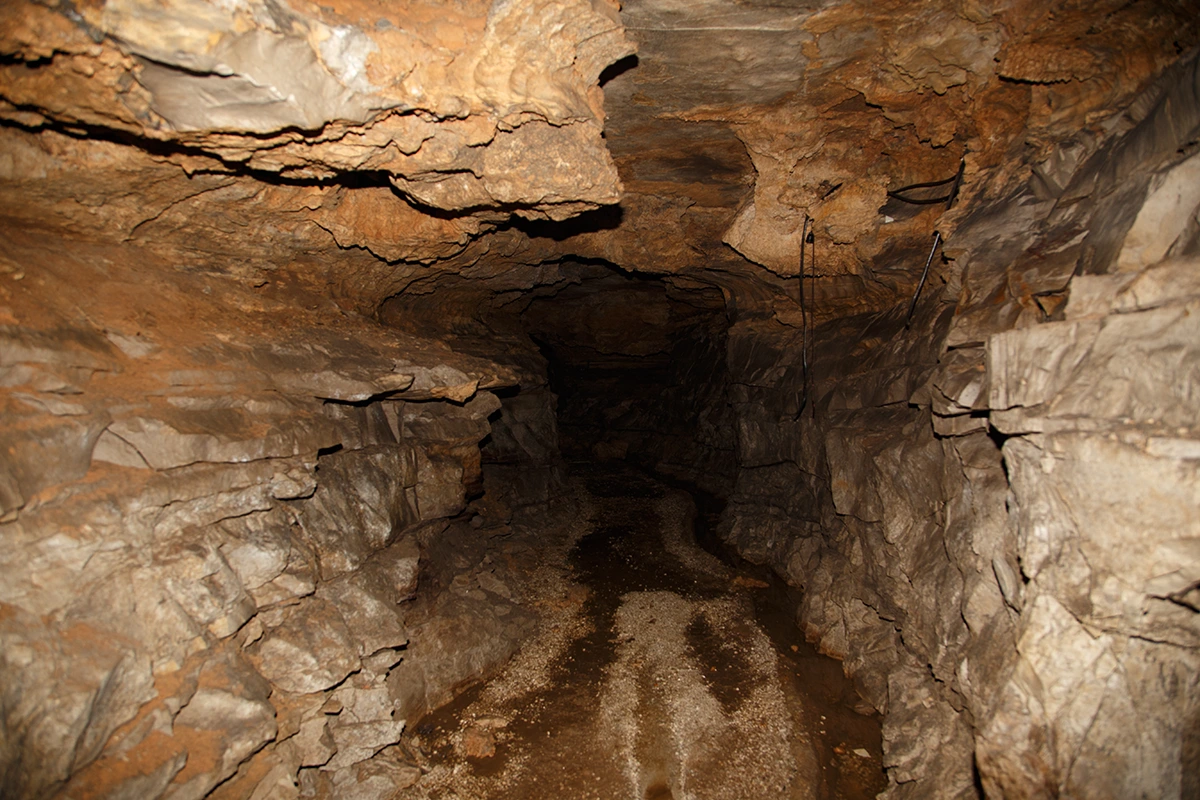
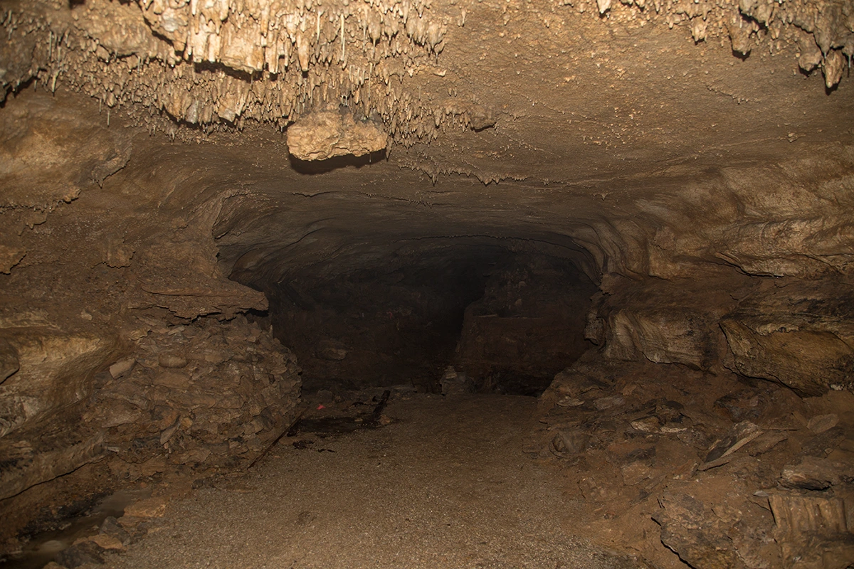
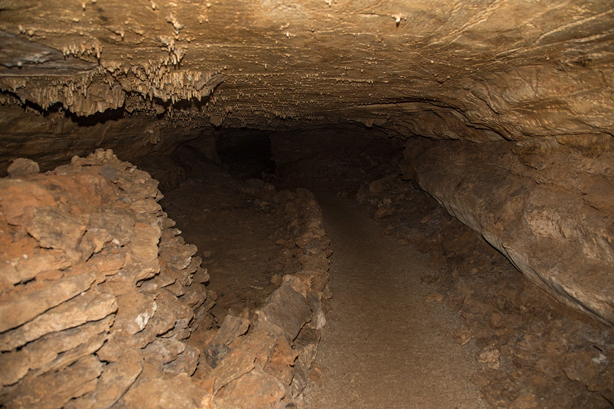
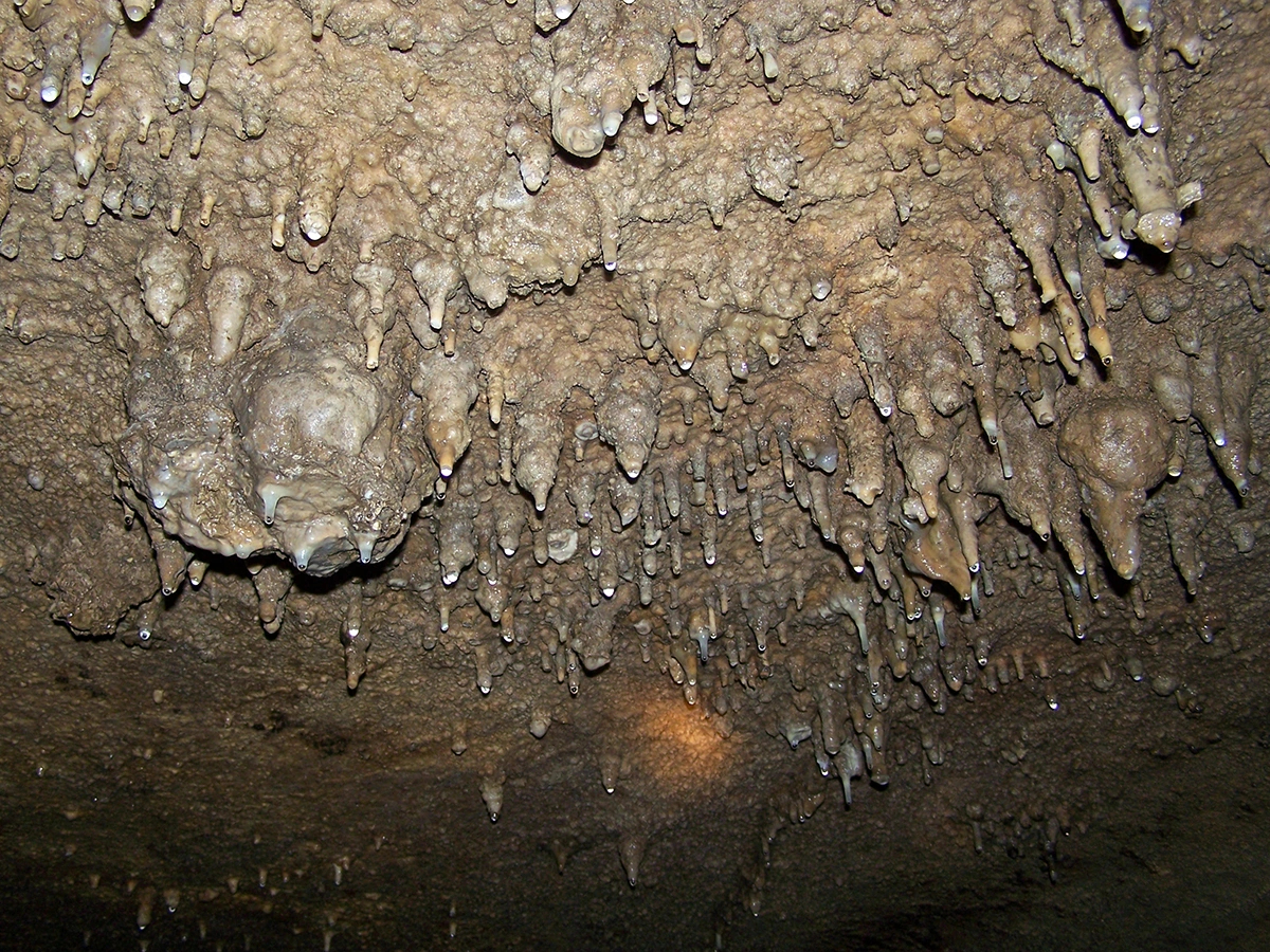
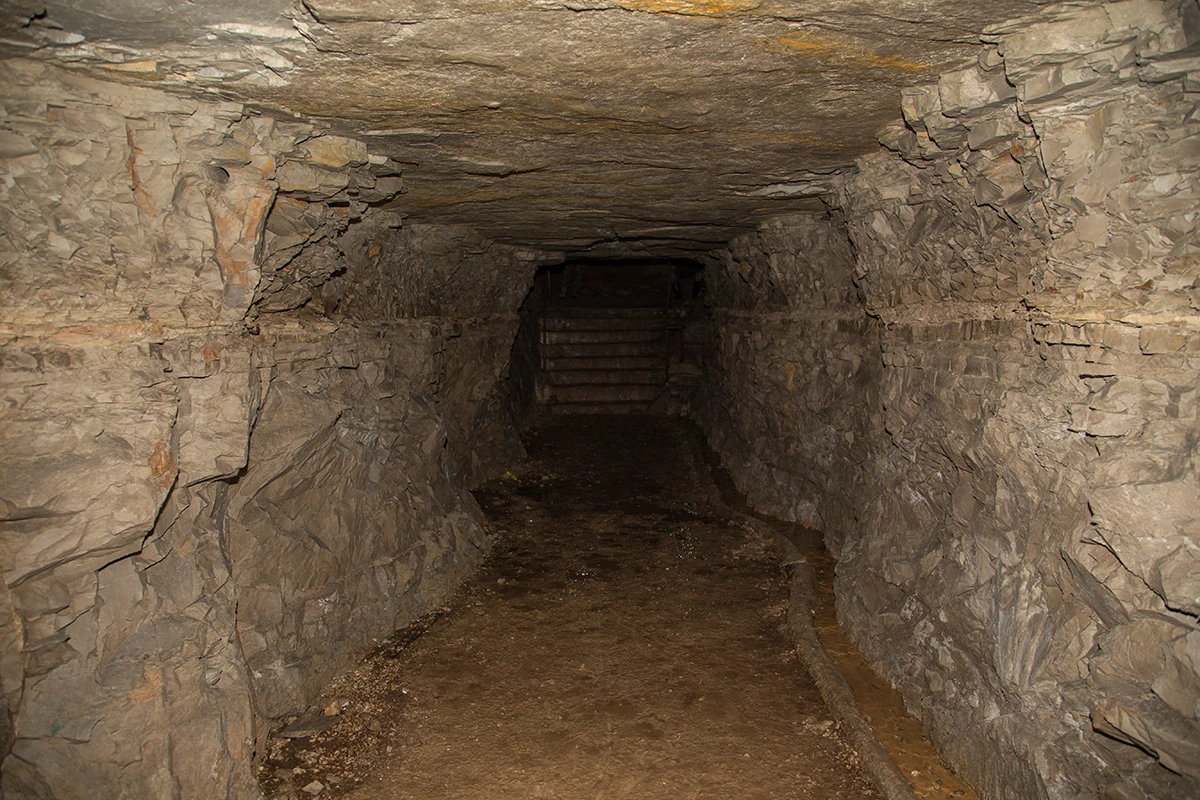
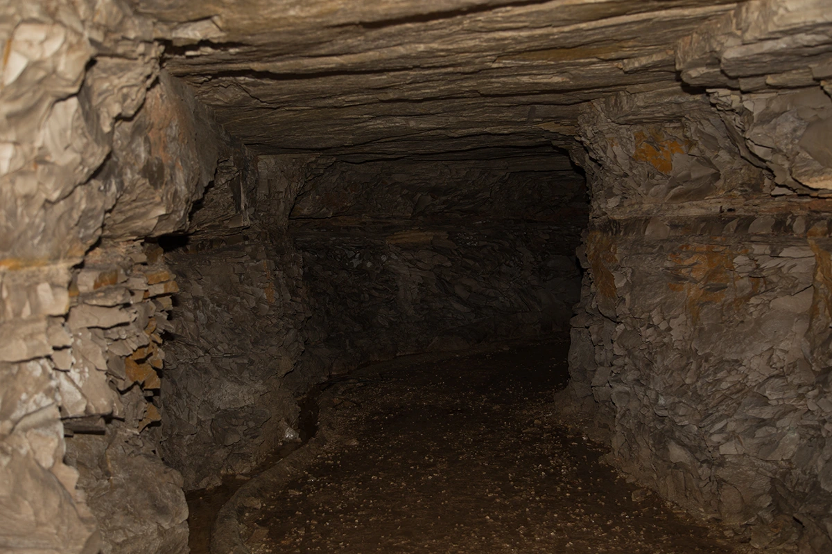
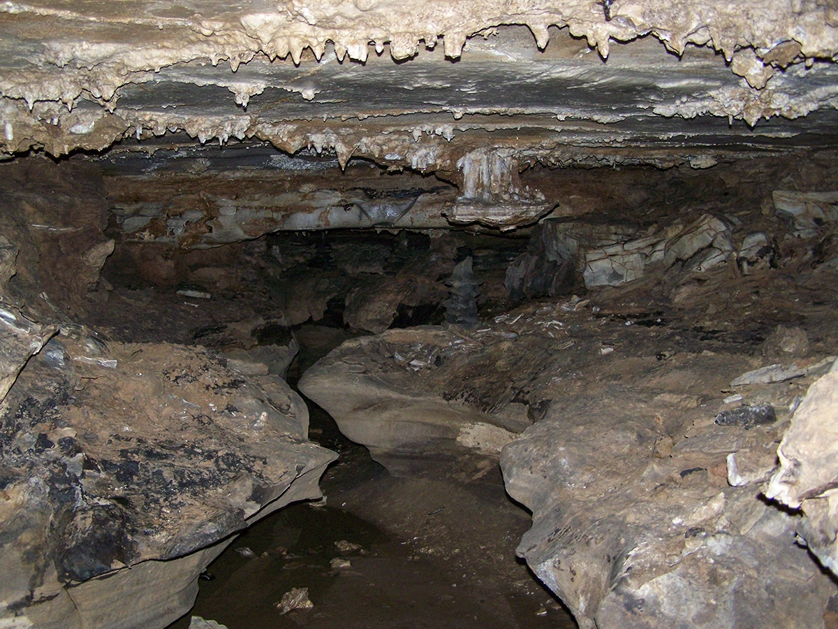
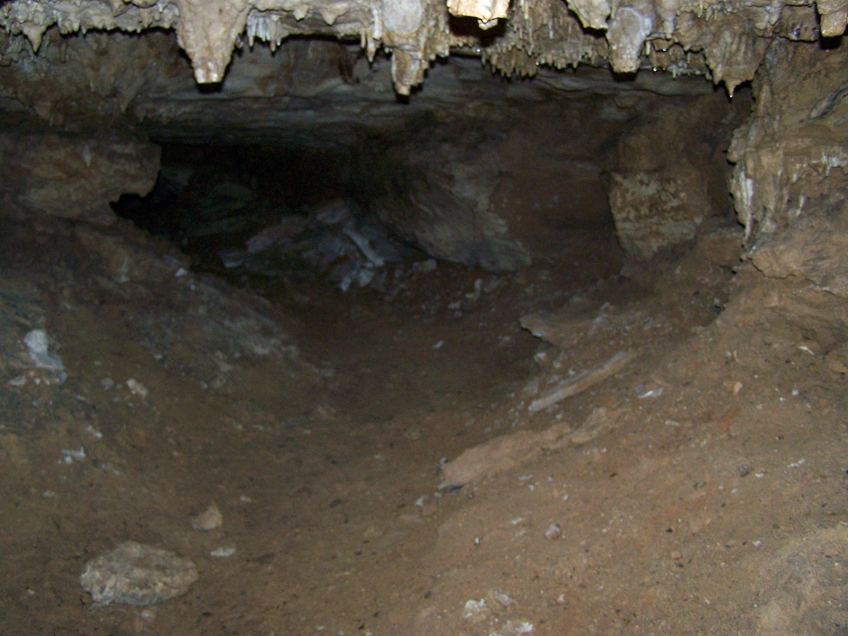
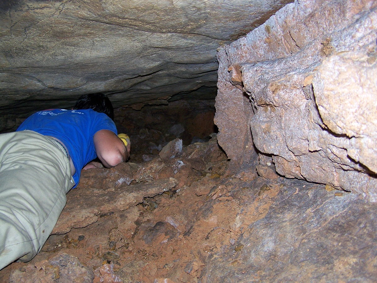
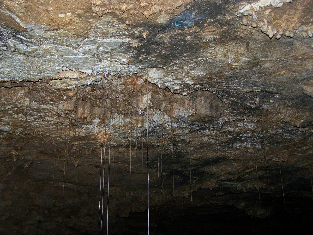
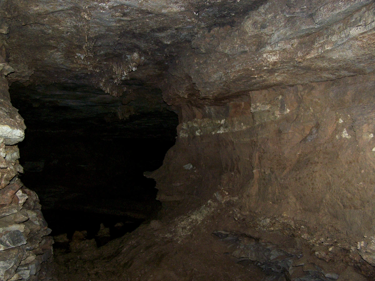
The tour begins at "The Iron Door" (top left of the map). The Iron Door is in one of the deepest cellars below the Lemp Brewery and it is now the only way in to or out of the cave. From the first intersection (where the Pool is located) the Theater is to the left. At the back end of the theater is a shaft and the destroyed remains of a spiral staircase to the surface (this entrance was once located within the grounds of the residence of Adam Lemp [now demolished/not the current Lemp mansion] and it was used to provide a clandestine point of entry for theater performers). The staircase was long ago destroyed and the manhole lid which caps it off is welded shut. Returning to the intersection at the pool, you would pass beneath the "Steel ladder in ceiling shaft" (this leads to a small tunnel in the ceiling which is entirely collapsed/filled). The first pool is located here on the left and beyond that, through a masonry wall, you would encounter another intersection. To the right is another Pool. Continuing right, past the pool there are a couple of masonry walls with a pair of shafts between them. Beyond that, a curious bottle shaped drain was constructed in the floor whose crystal clear water occasionally harbors a species of blind albino cave crustaceans. Beyond the drain, debris fills the space to the ceiling beyond which the Lemp portion of the cave terminates at a dead end which is labeled "Filled Shaft" on the map. Back at the intersection of the Pools and turning right would lead beyond the Lemp portion of the cave and cross over into the Cherokee Cave expansion. Past the "Bone Area" is a 4-way junction including the "Air Raid Shelter" to the left (this was merely a cheesy display piece during the Cherokee Cave attraction and not an actual shelter of any kind). The "Air Raid Shelter" is just a perpetually muddy/water-filled loop back to the area just behind the Pool. Directly across the junction from the "Air Raid Shelter" is a winding passageway which terminates at the remains of Cherokee Lake and the impenetrable highway foundation wall. Back at the junction, there is a large staircase which leads up to the next passageway which contains the Peccary Cemetery and Upper Passage along with the highest density of natural formations in the whole cave. This passageway terminates at the Black Dahlia formation around which is a short wall which contains a pool of water around it called the Wishing Well. To the right is a short staircase down a quarried tunnel which winds down past a variety of interesting looking nooks and crannies which are all dead ends. The main passageway continues down and ultimately terminates at the highway foundation wall which represents the far end of the modern-day cave. The entire passage between the Black Dahlia and this end of the Cherokee Lake Highway Wall is often devoid of oxygen.
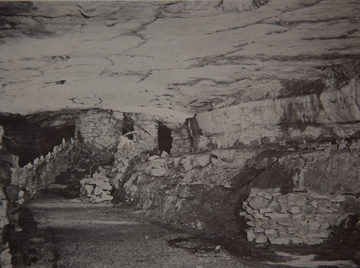
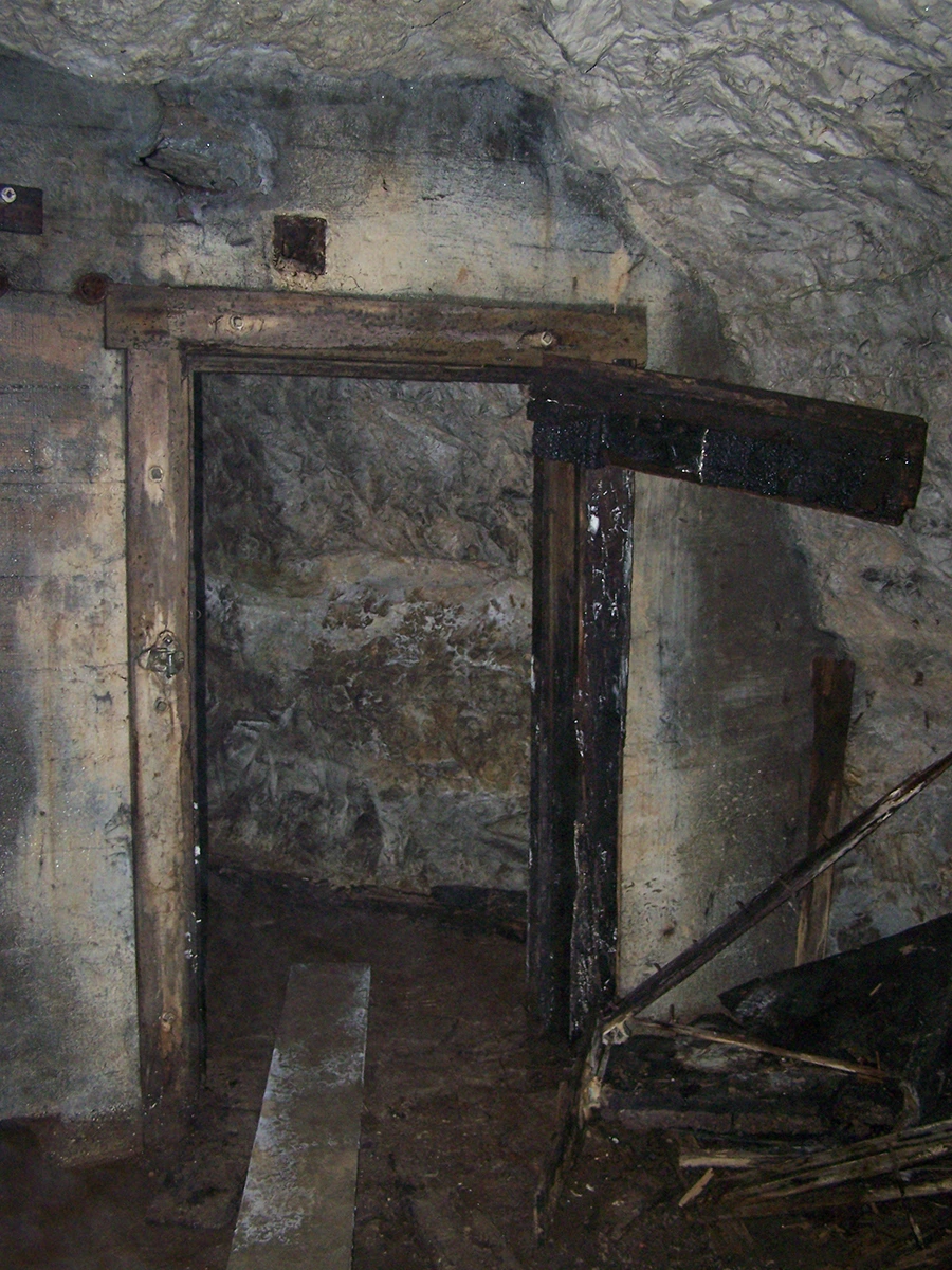
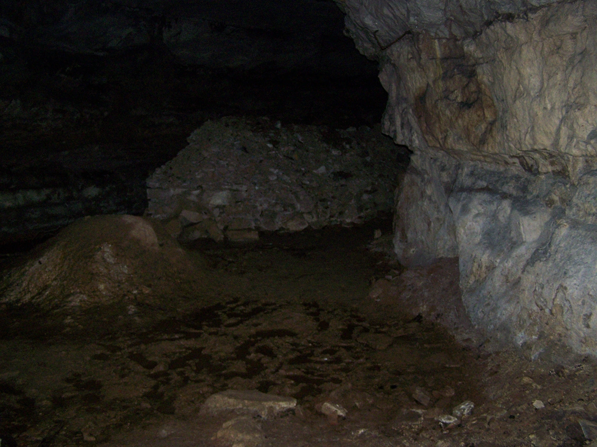
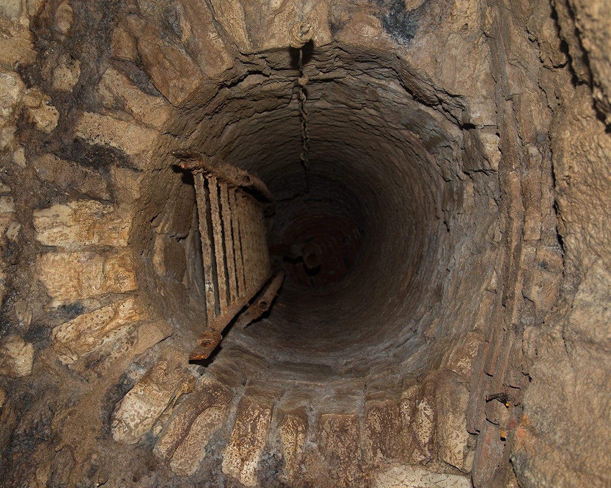
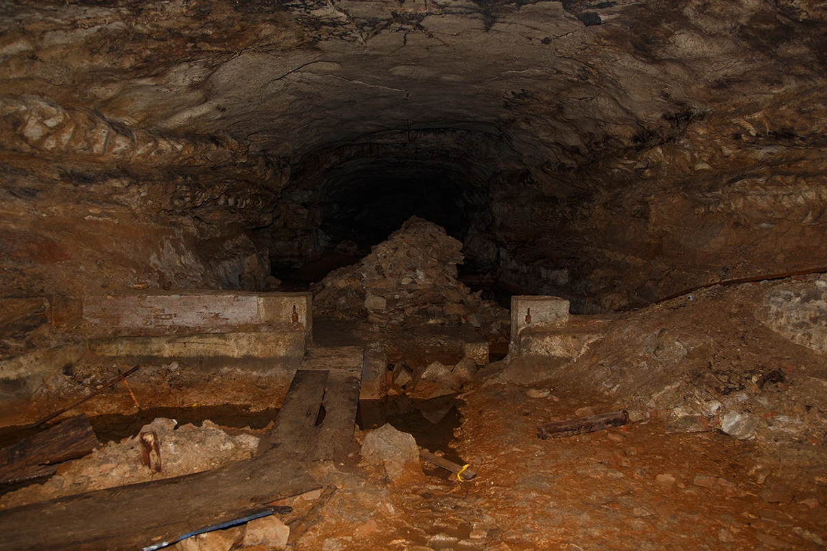
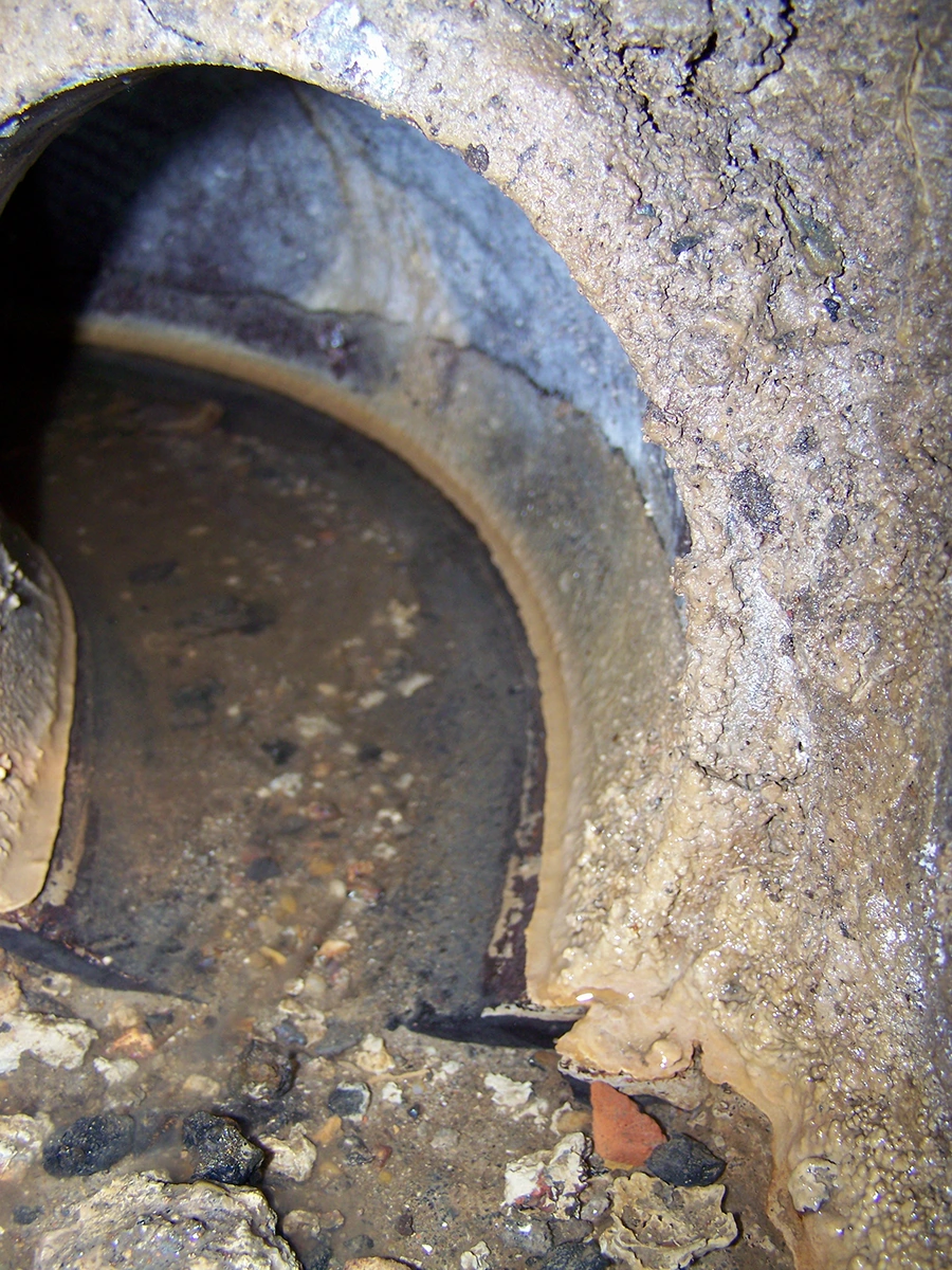
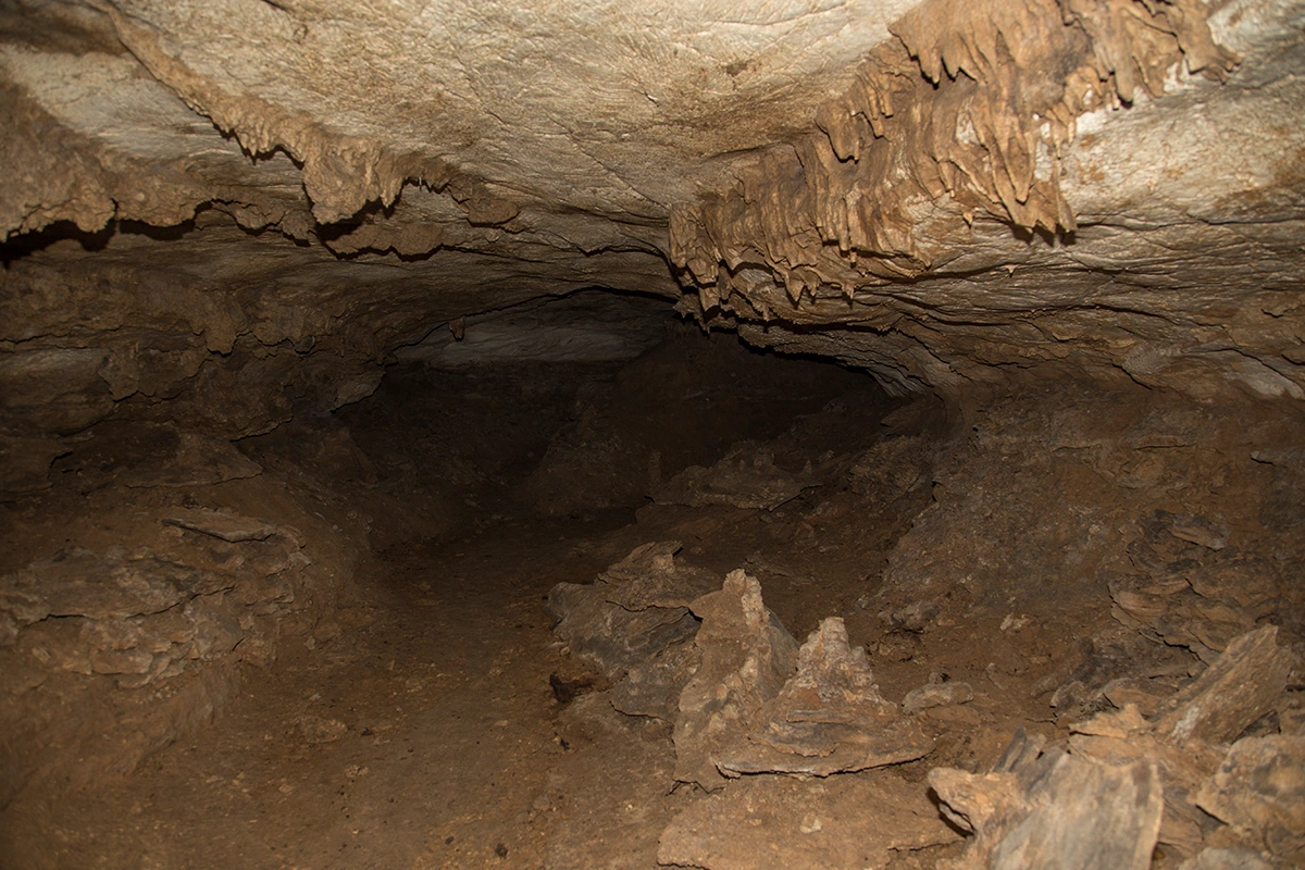
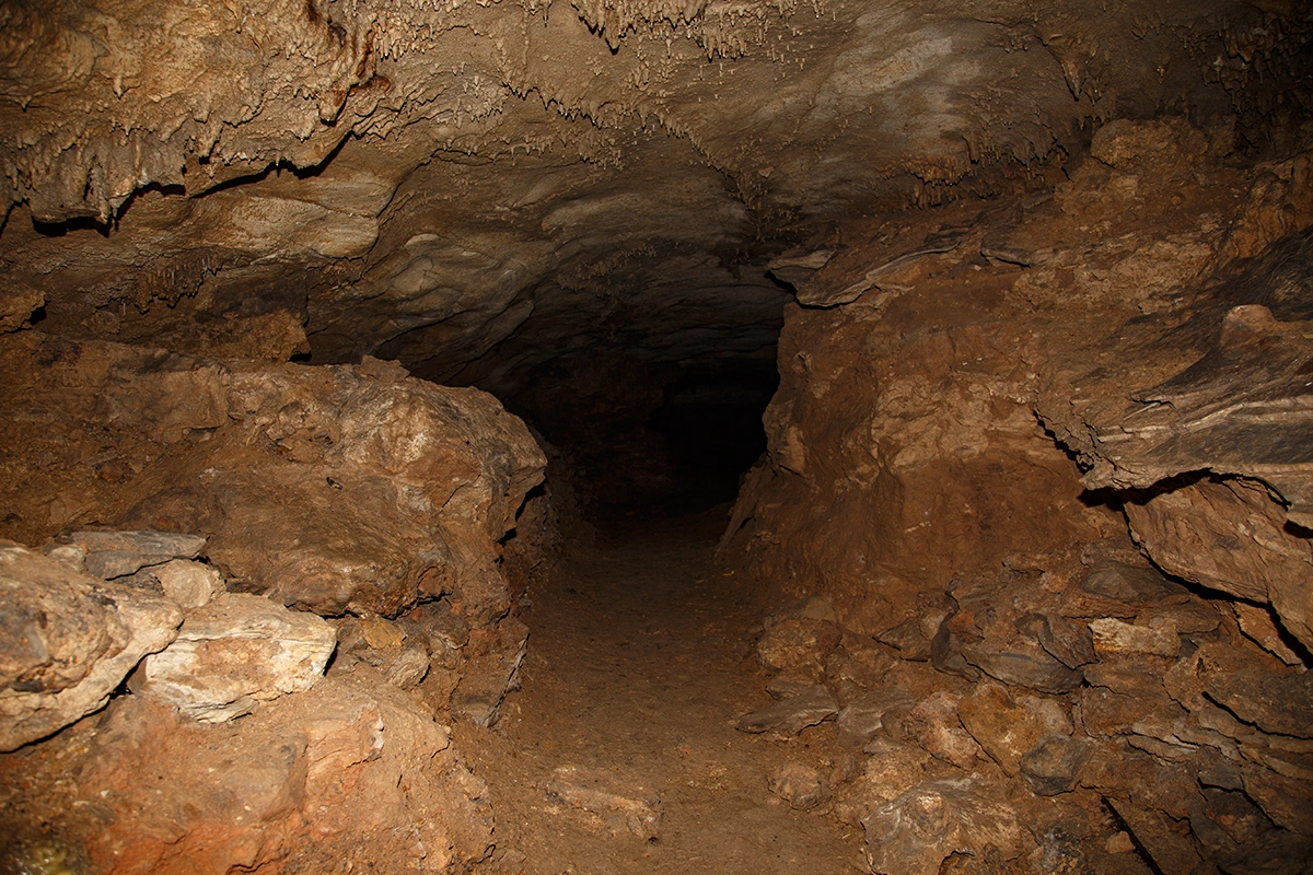
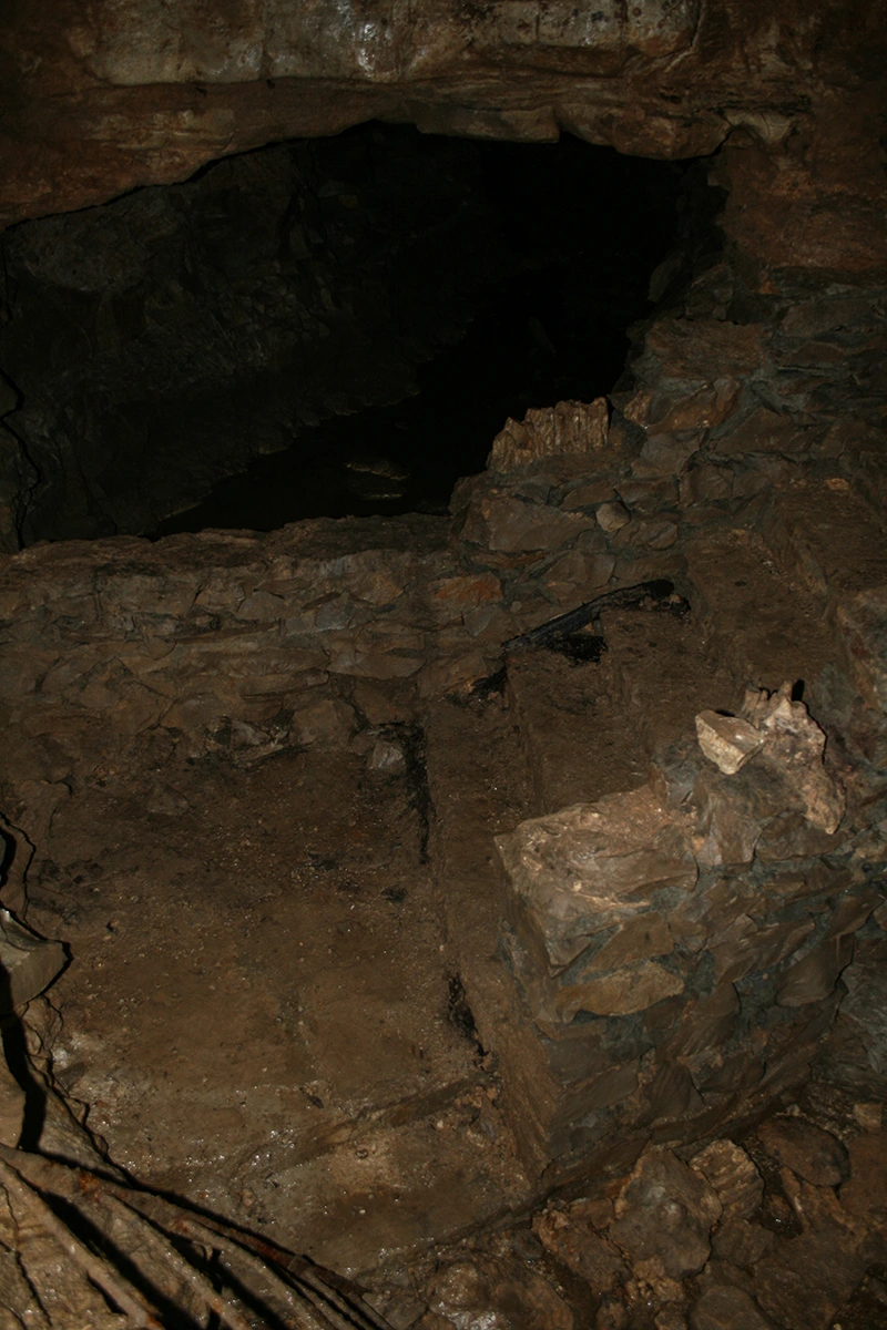
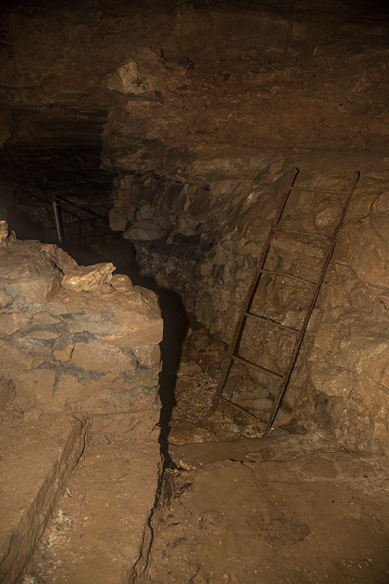
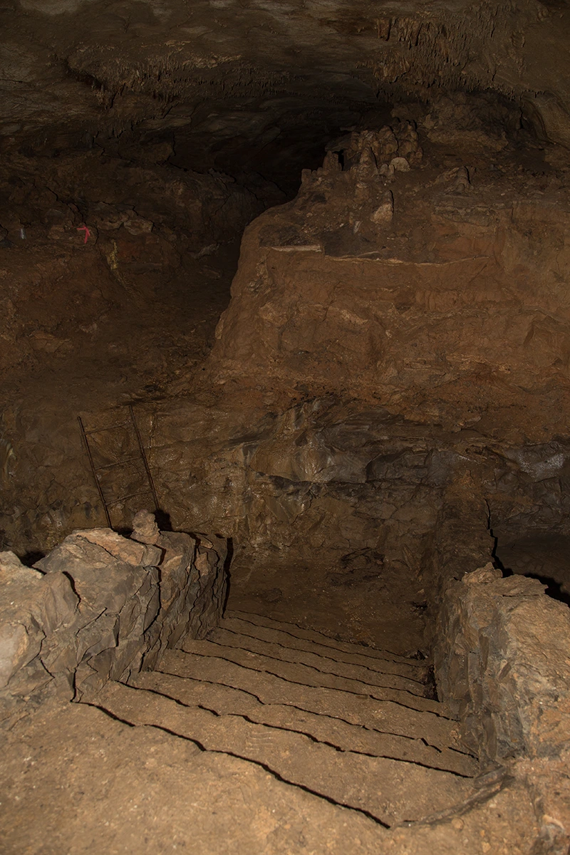
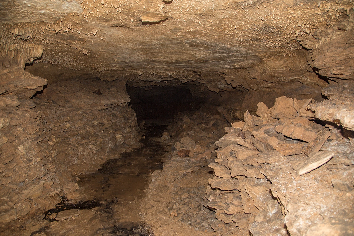
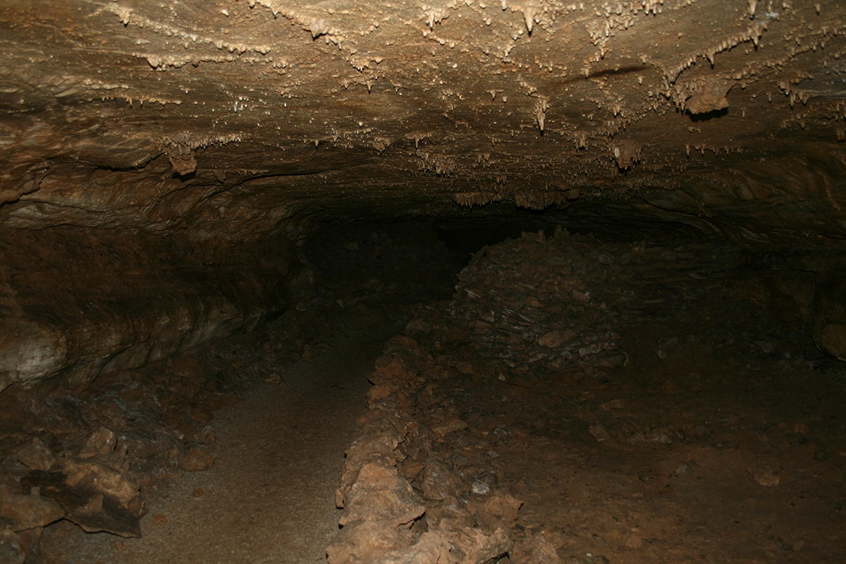
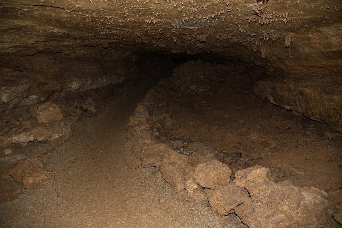
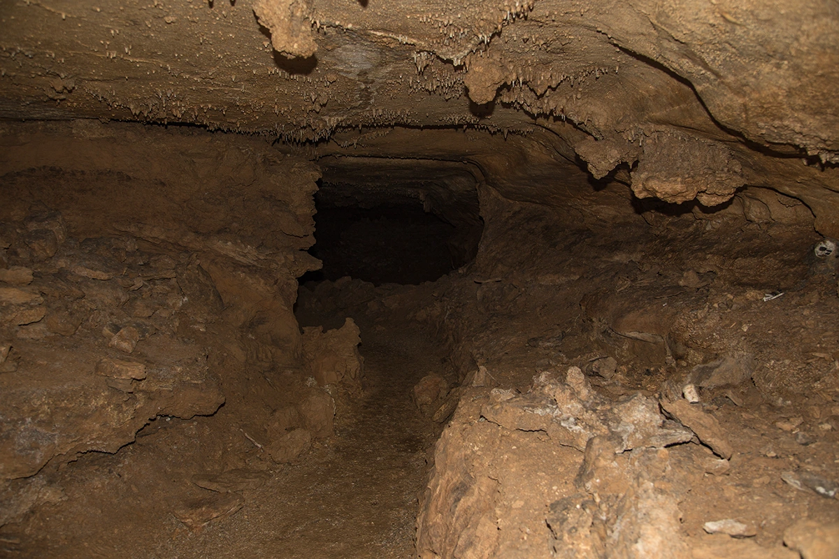
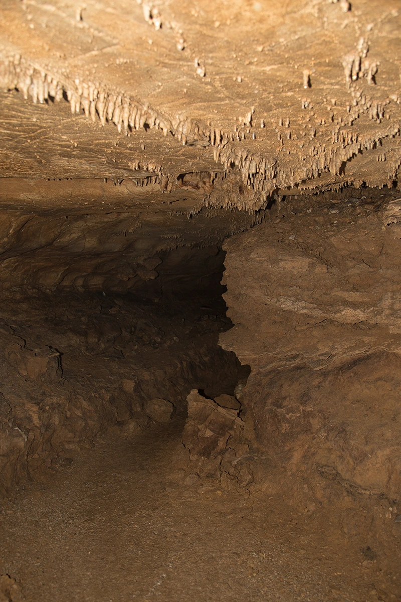
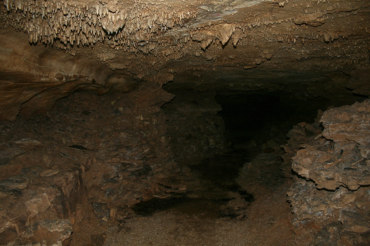
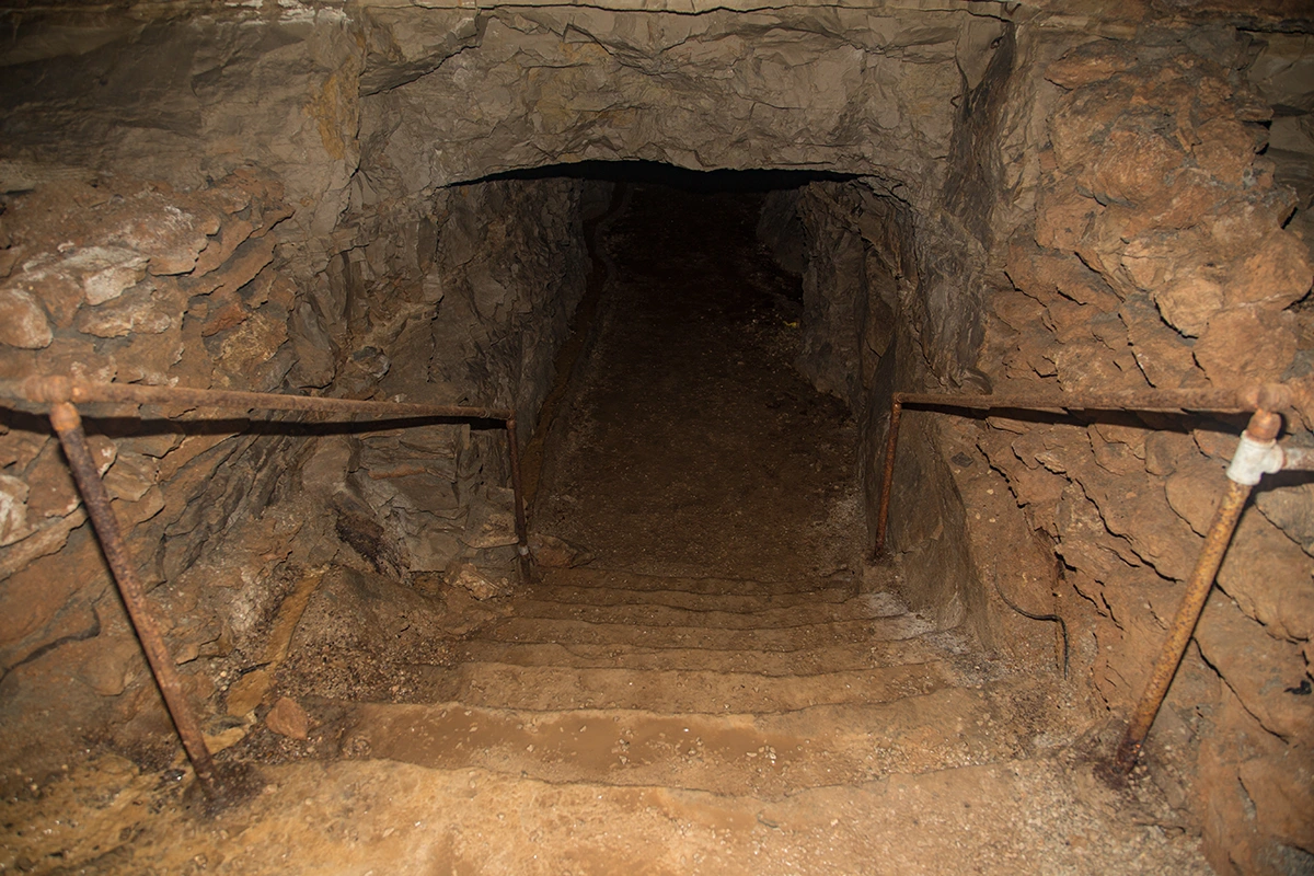
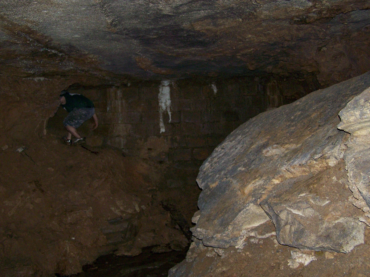
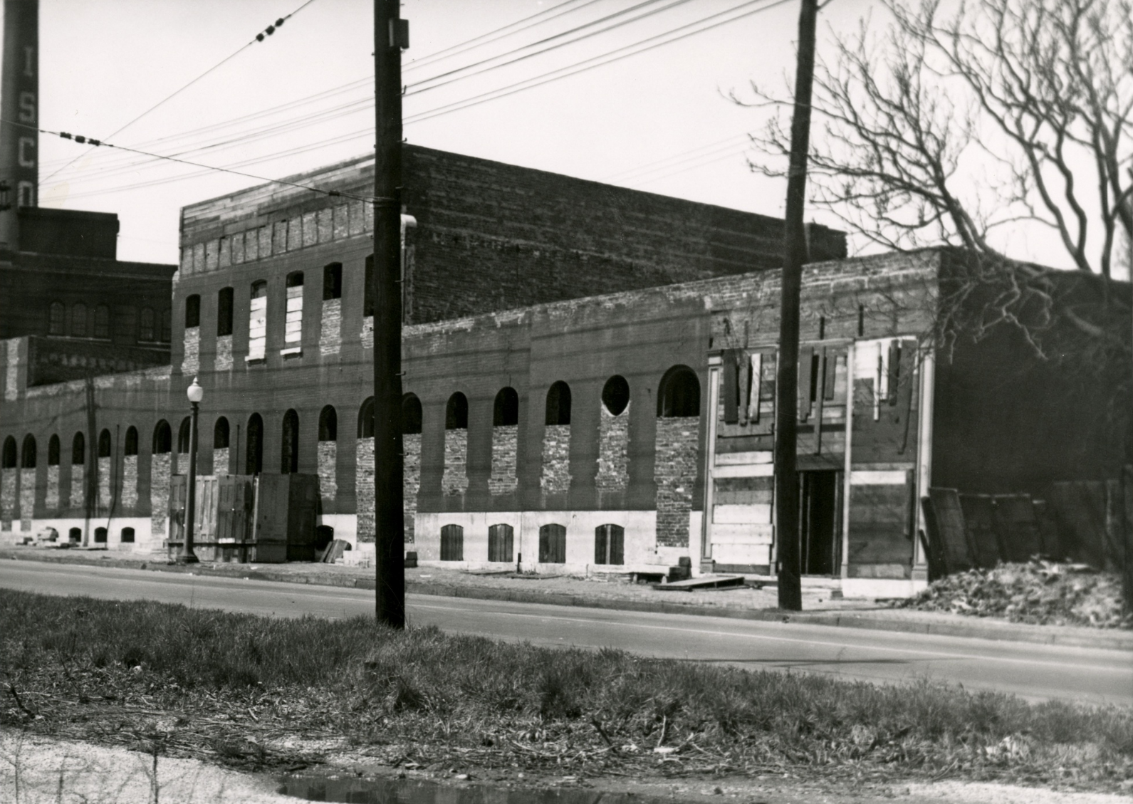
The Entrance to Lemp/Cherokee Cave
The THEATER
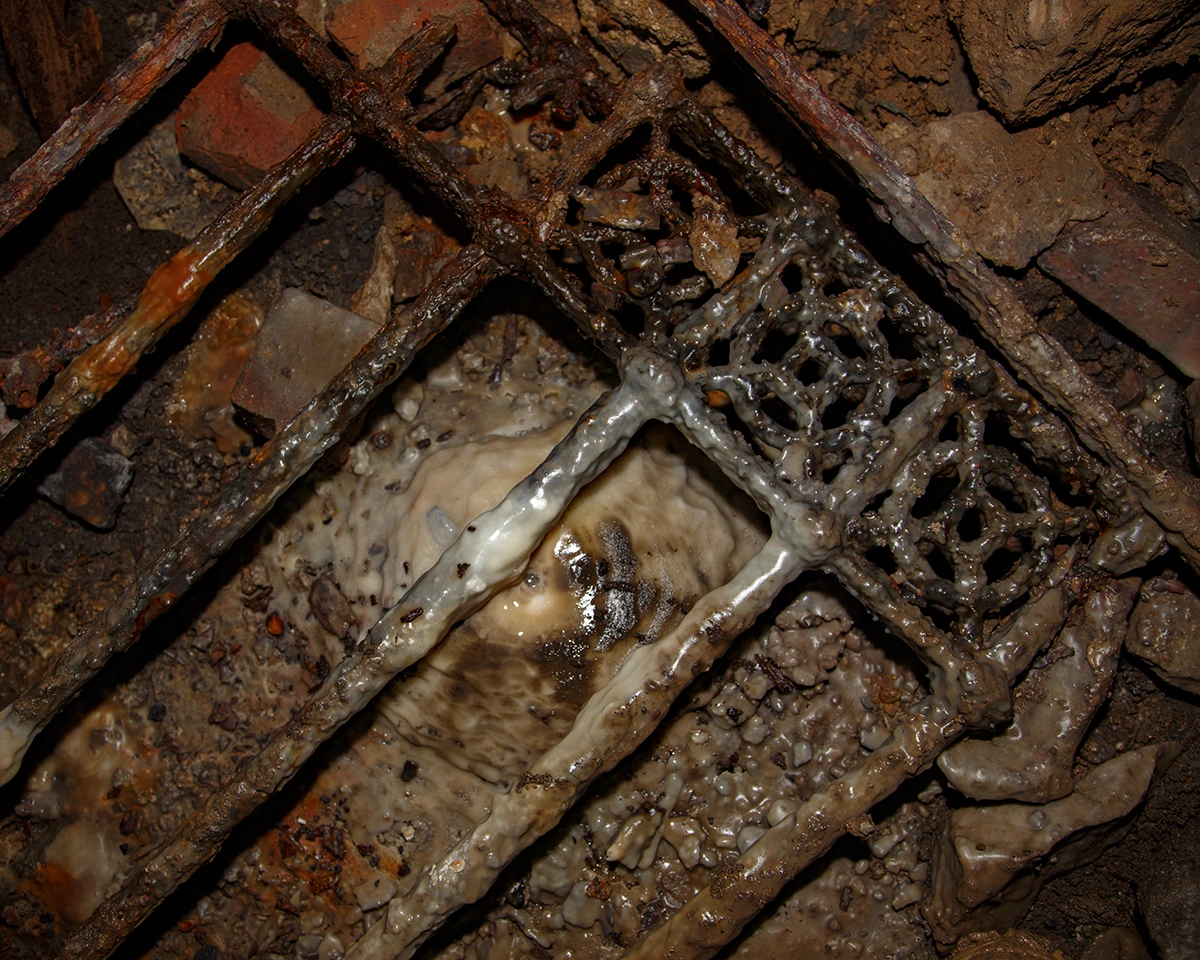
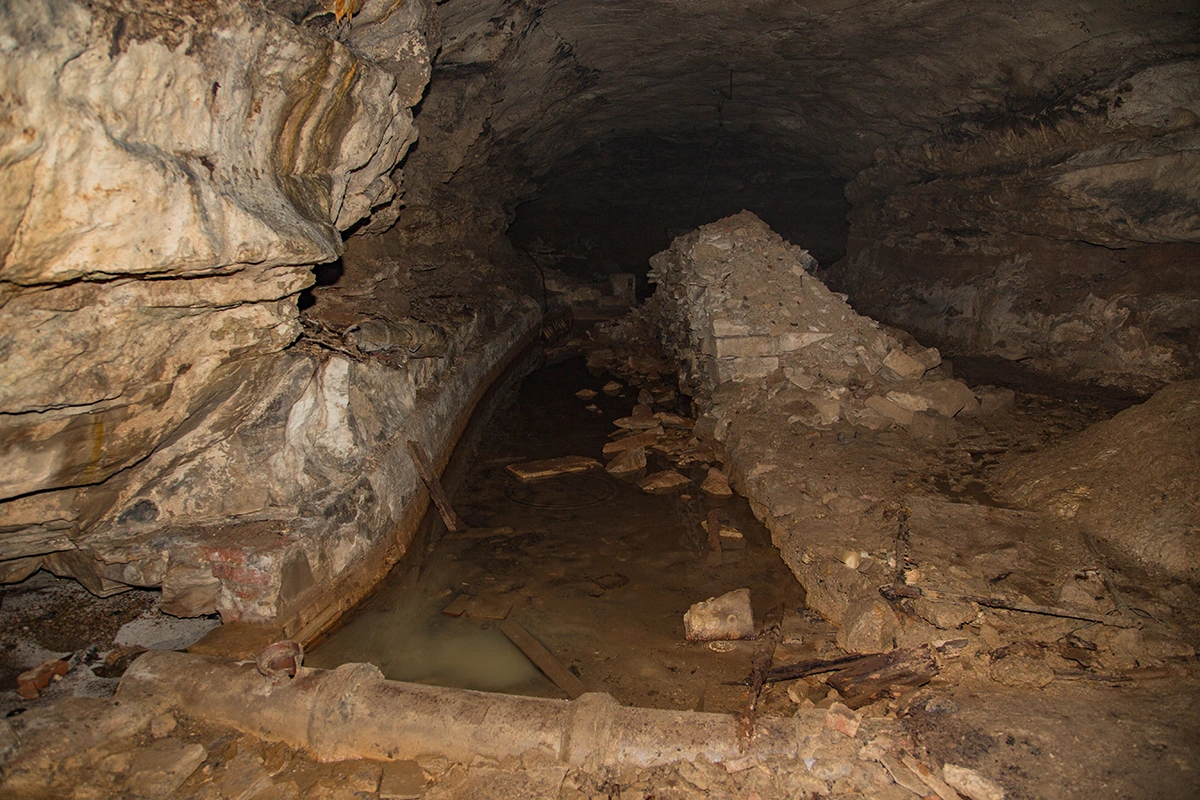
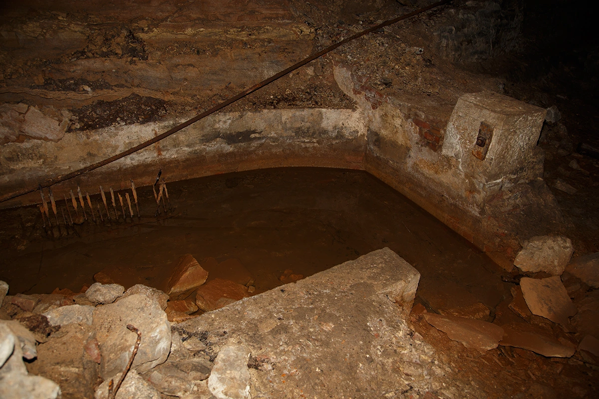
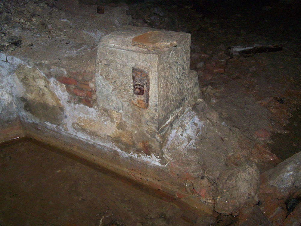
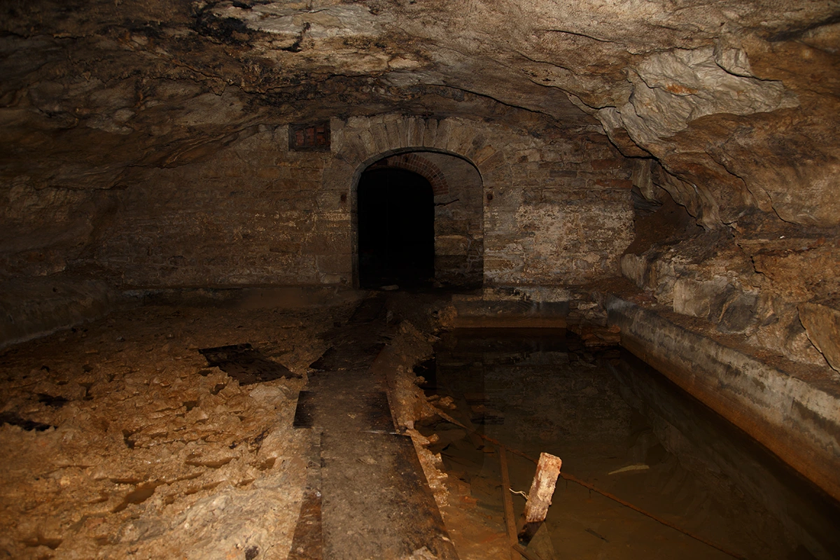
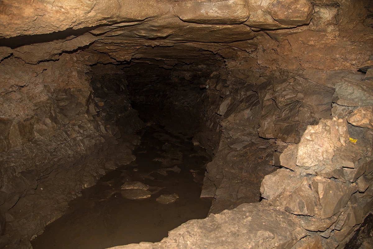
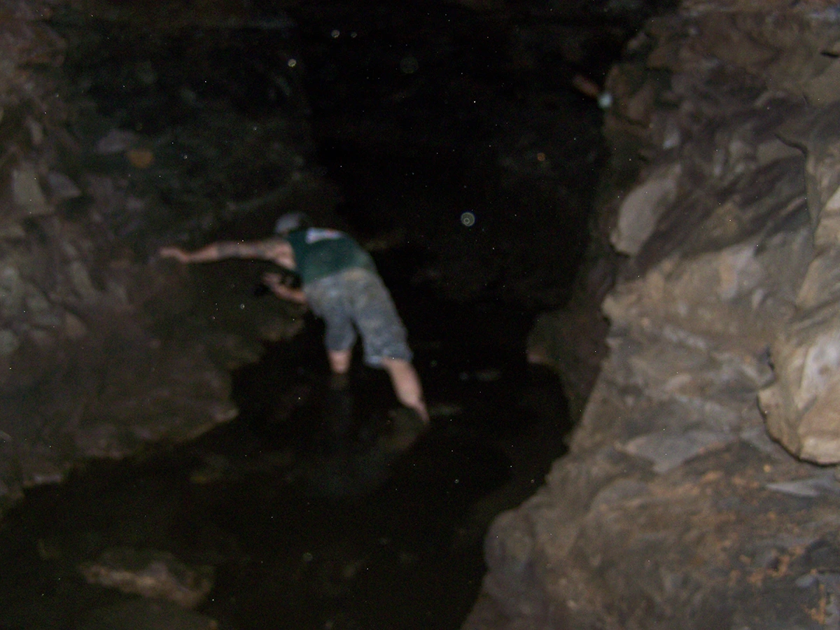
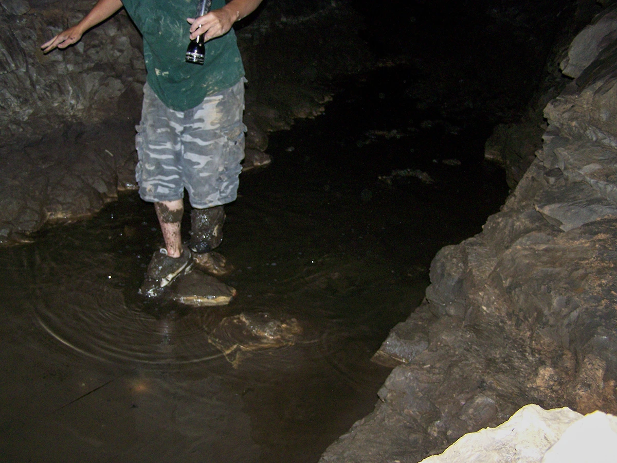
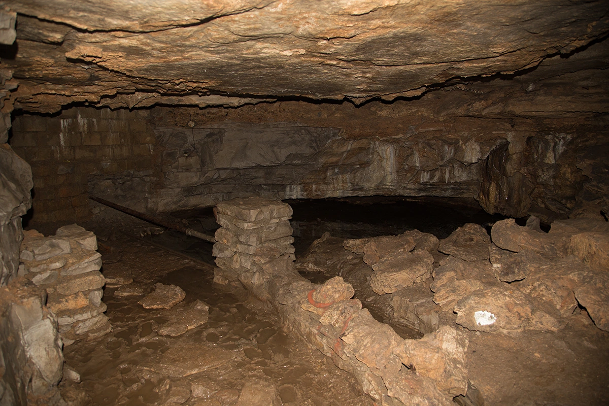
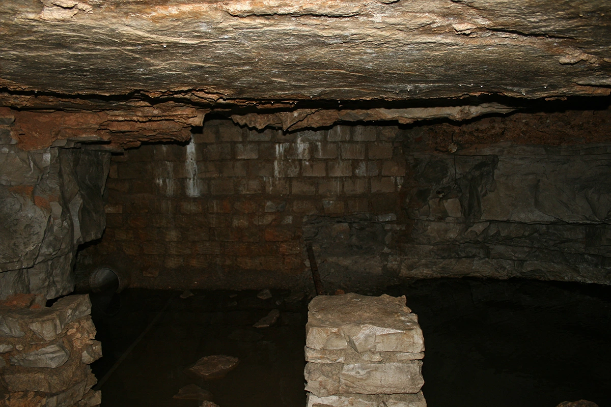
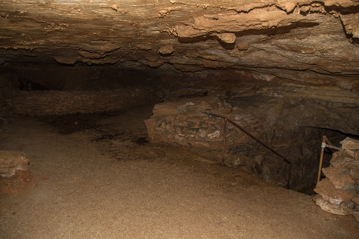
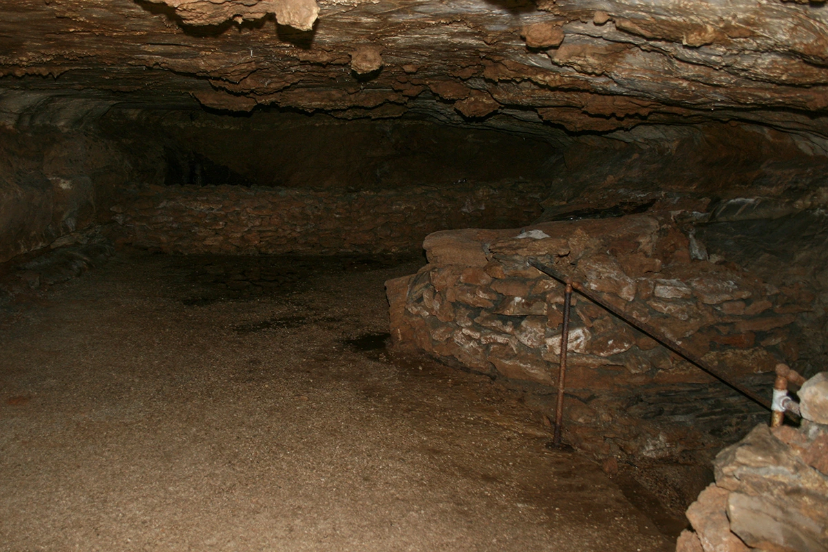
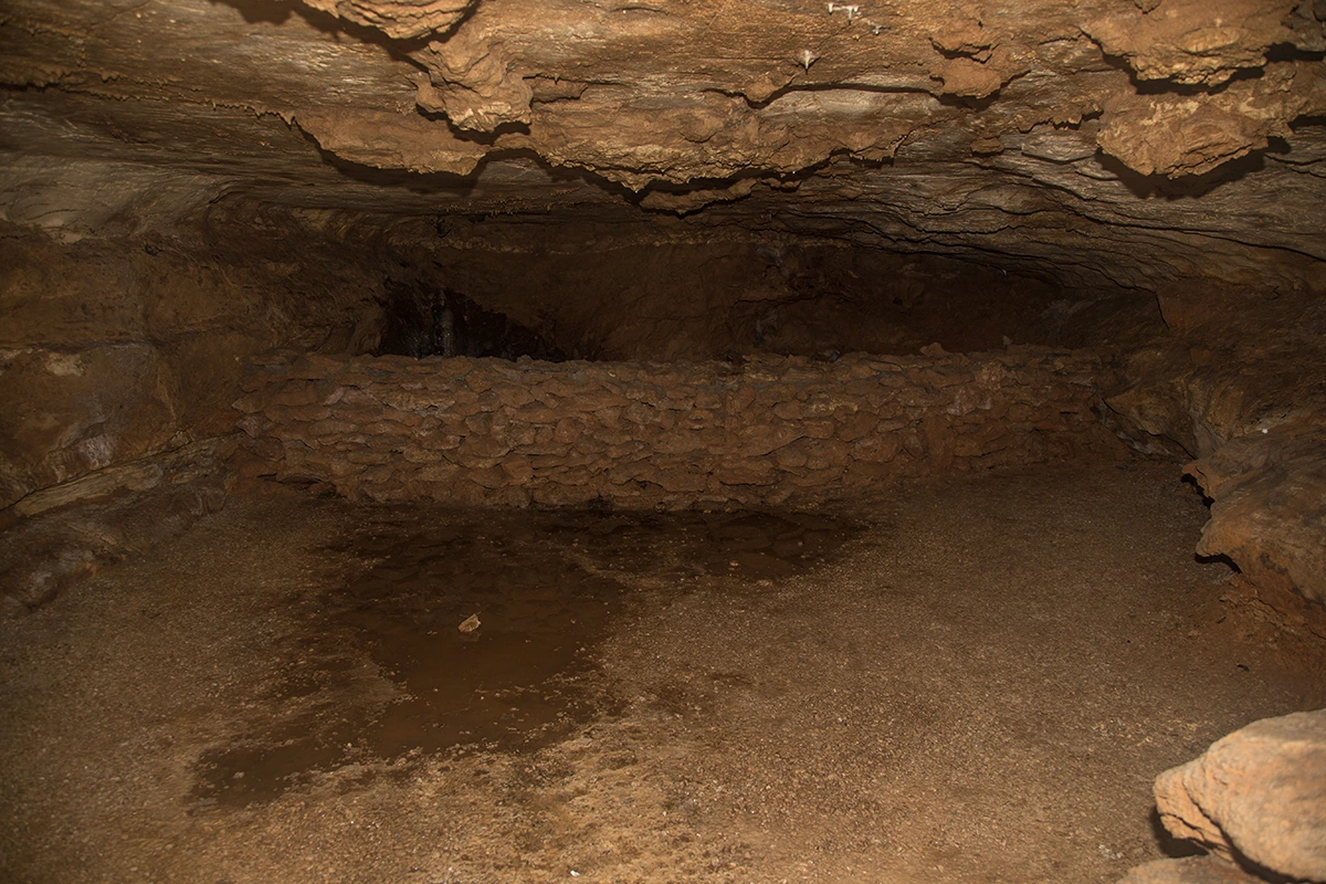
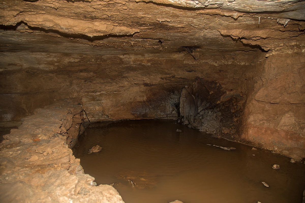
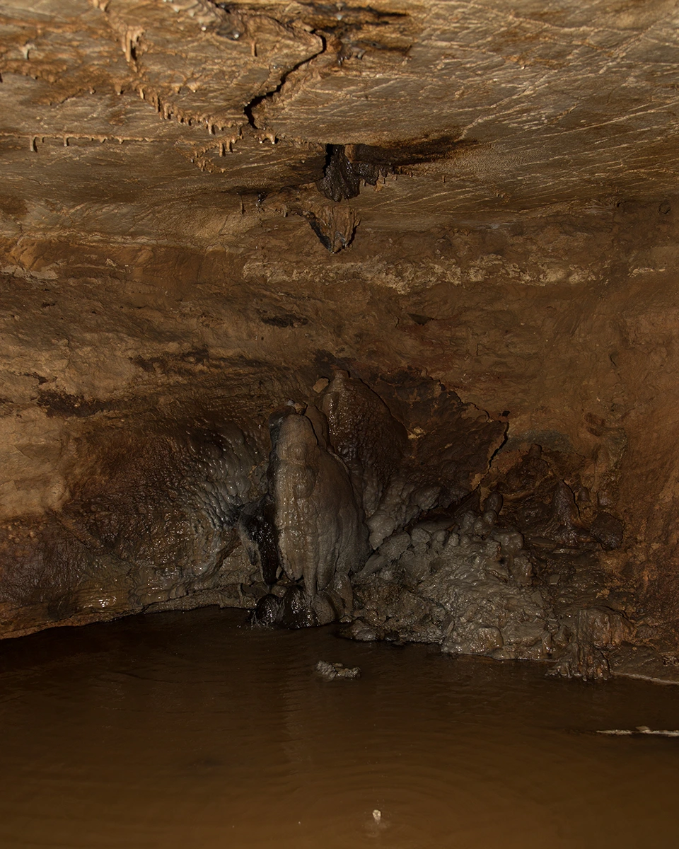
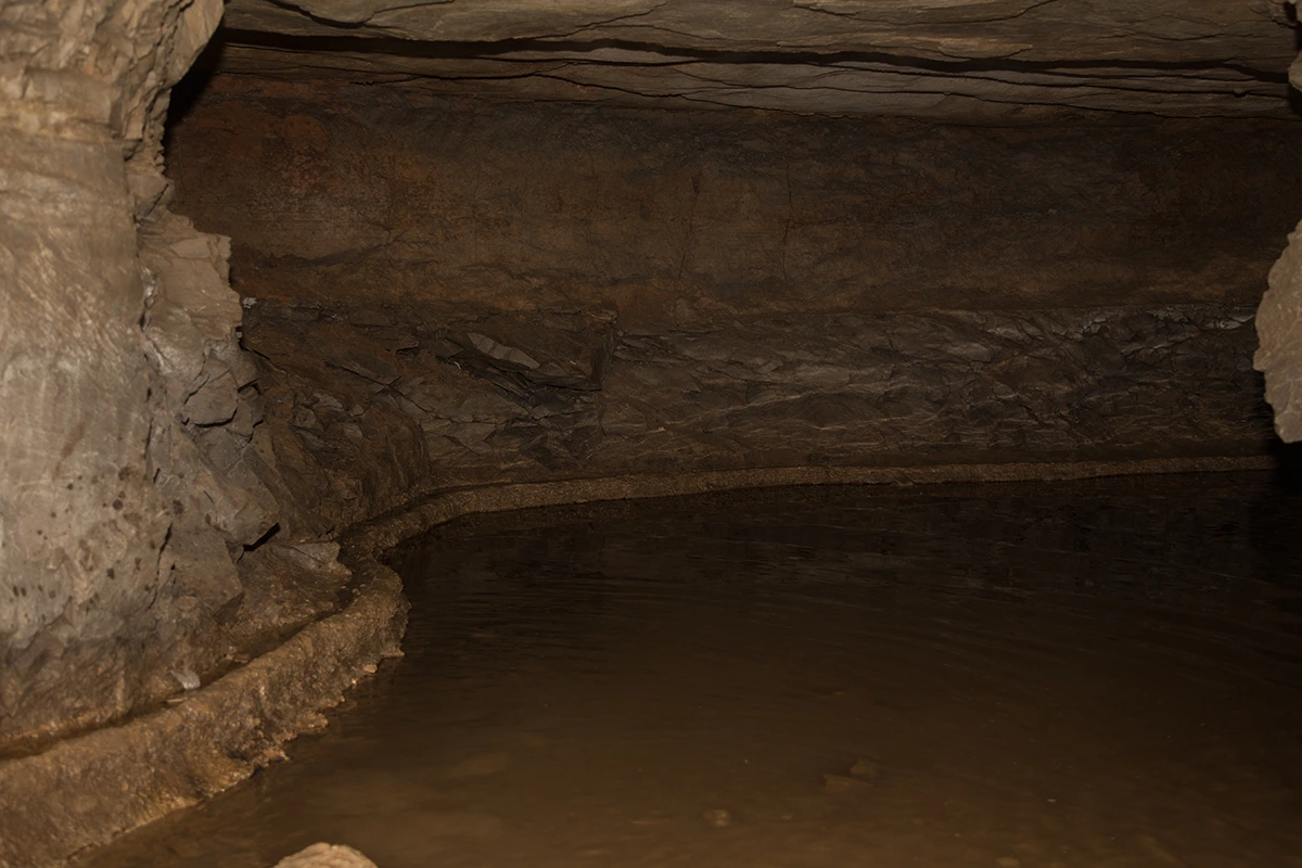
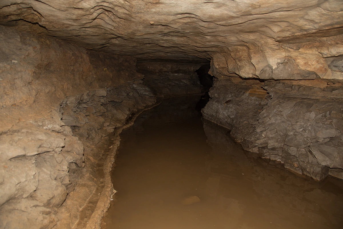
POOL
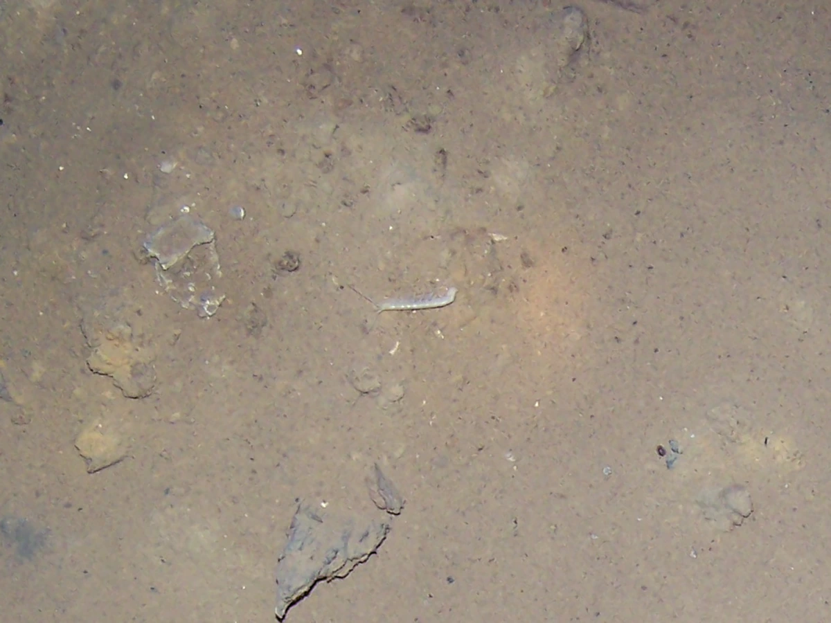
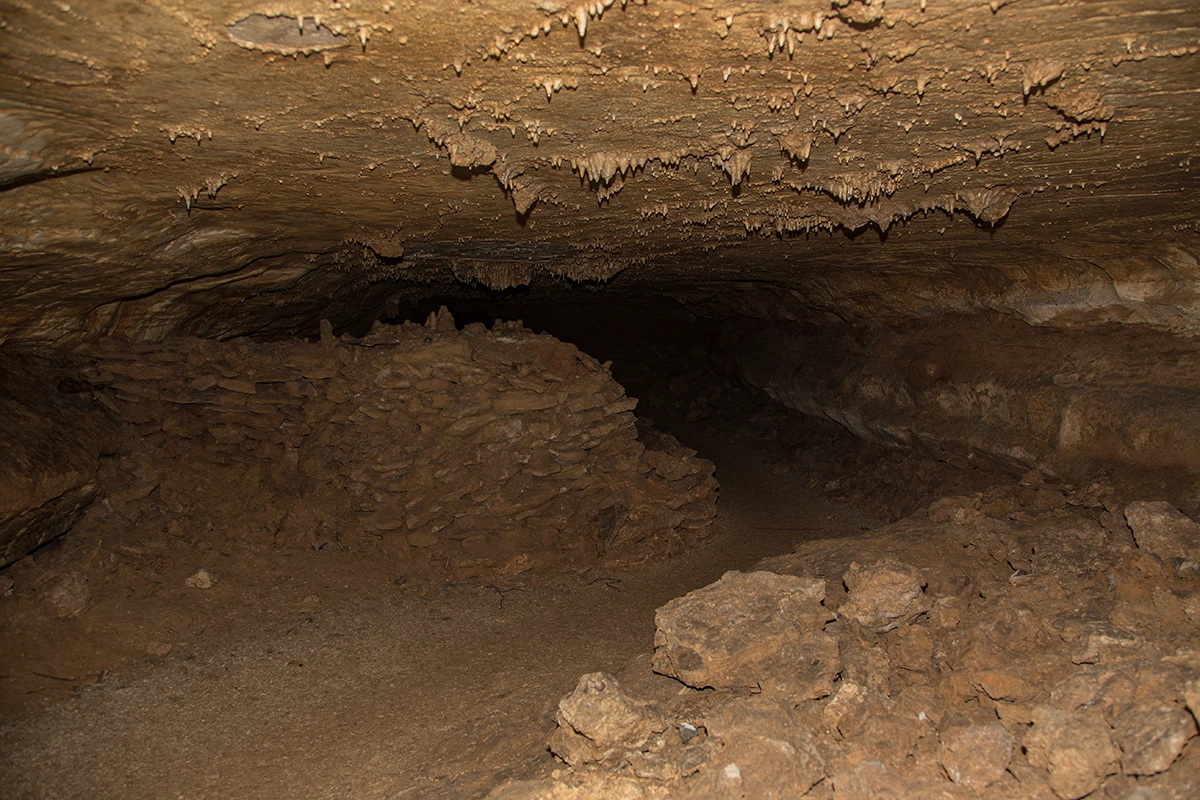
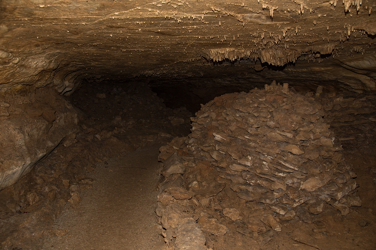
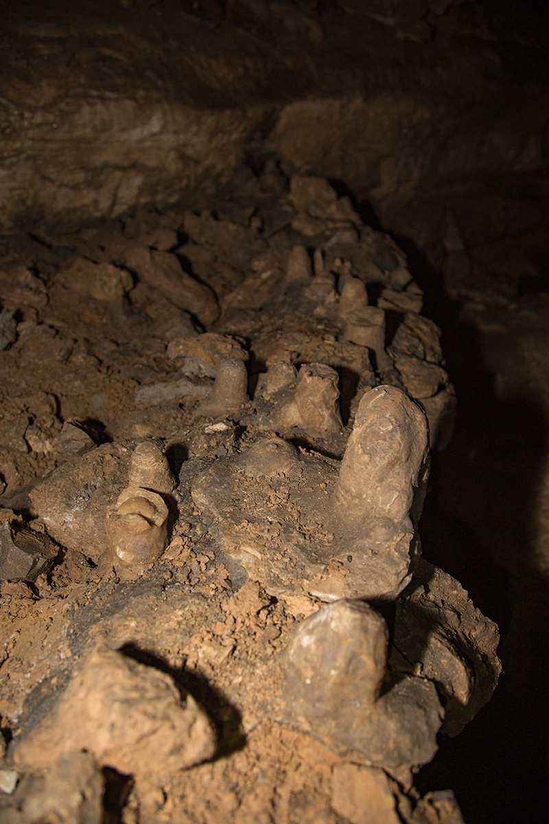
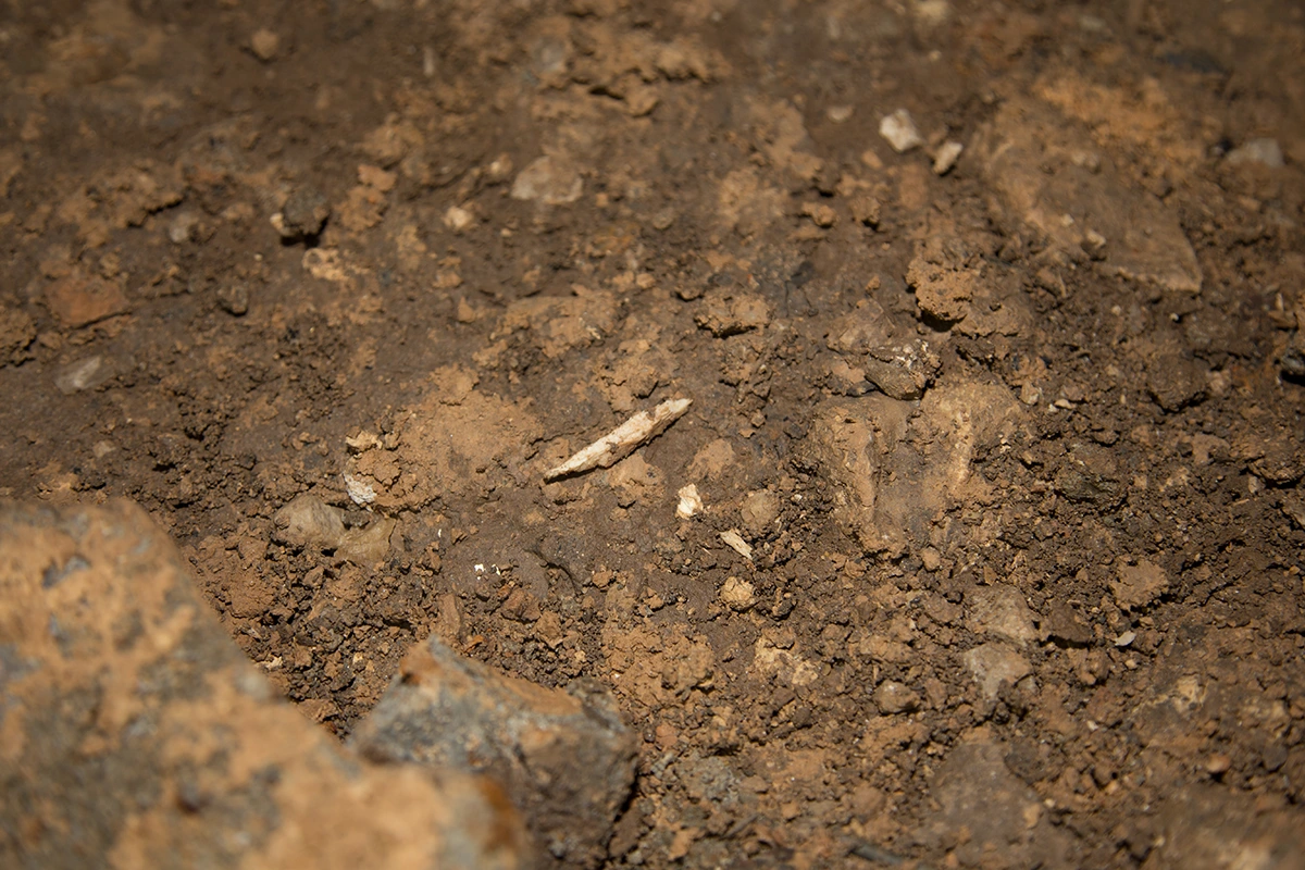
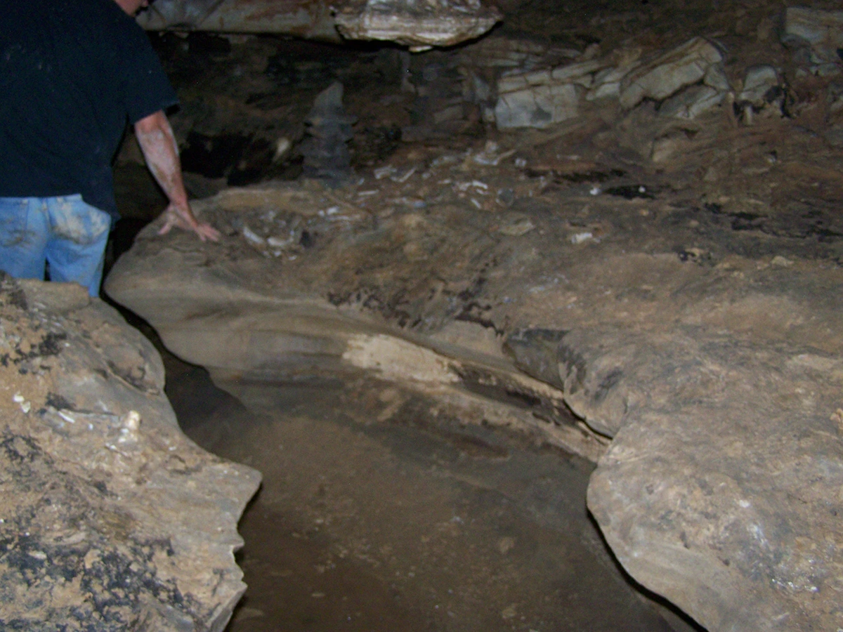
Bone Area
The 4-Way Junction / "Air Raid Shelter"
Peccary Cemetery/Upper Passage
Black Dahlia
Quarried Tunnel and passageway to far end of cave
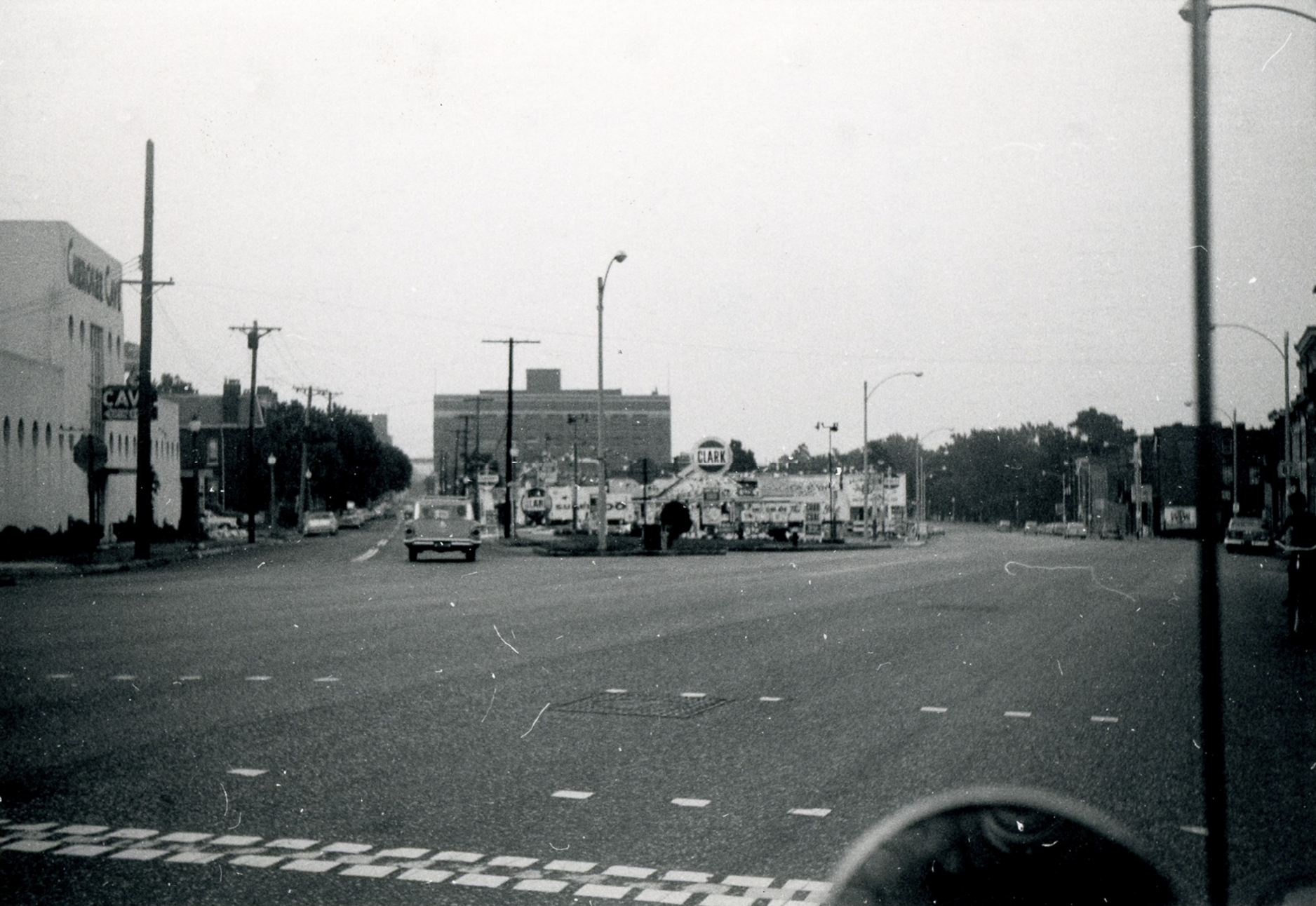
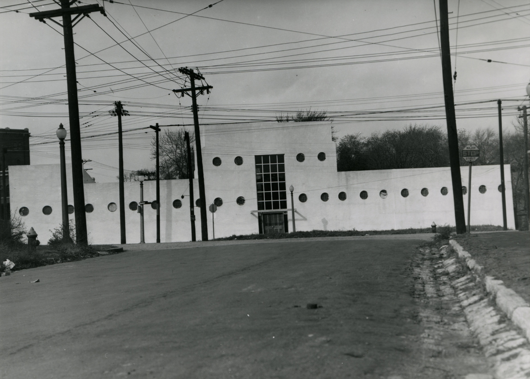
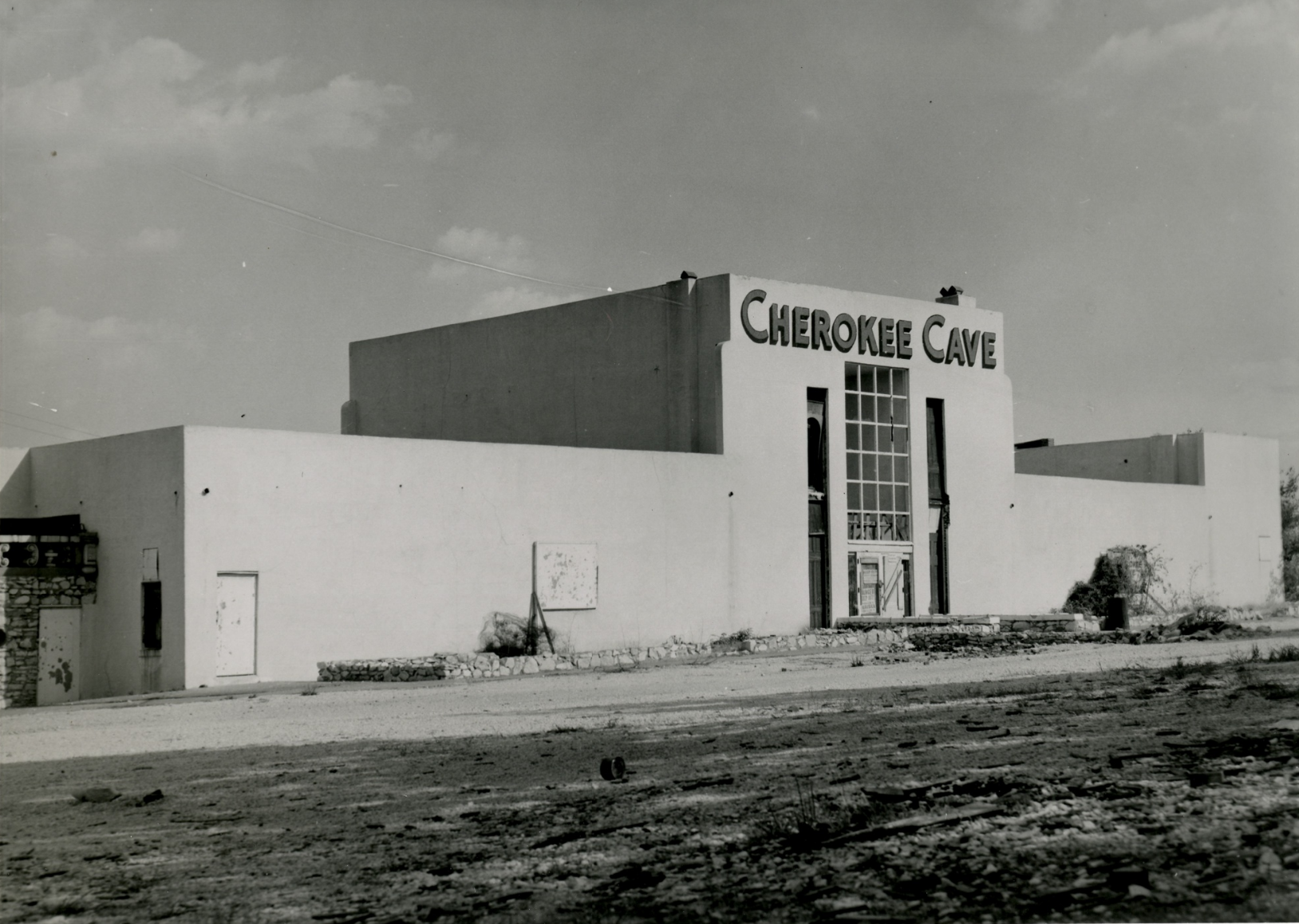
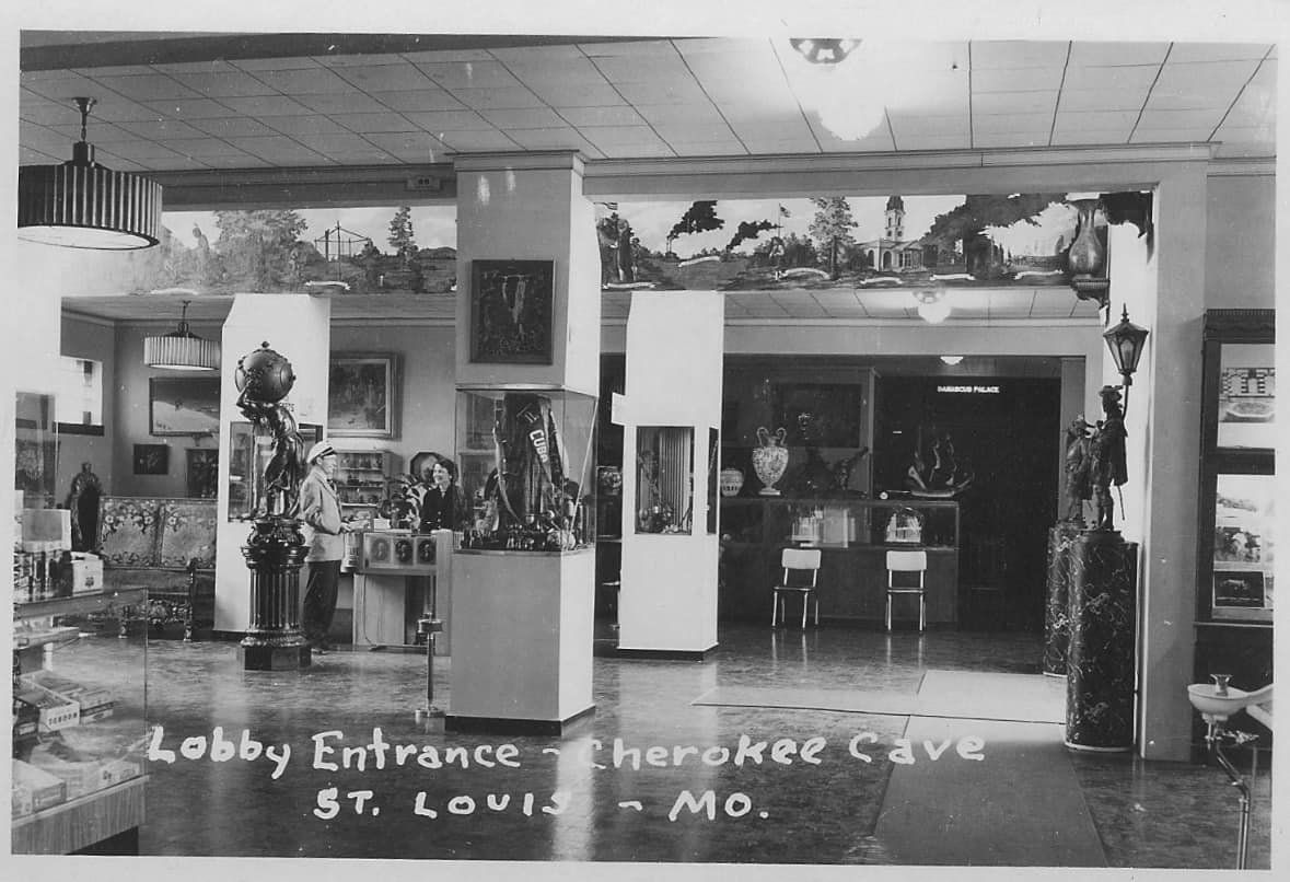
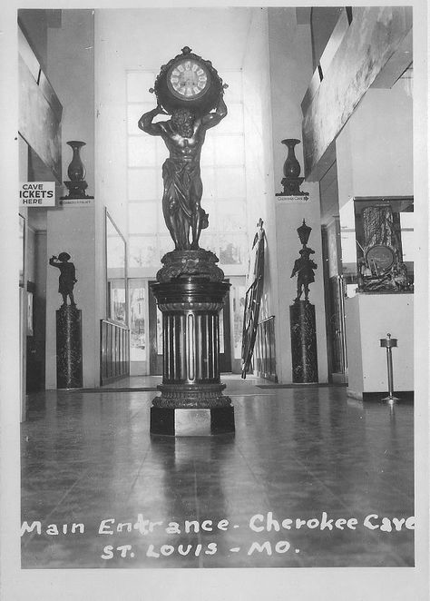
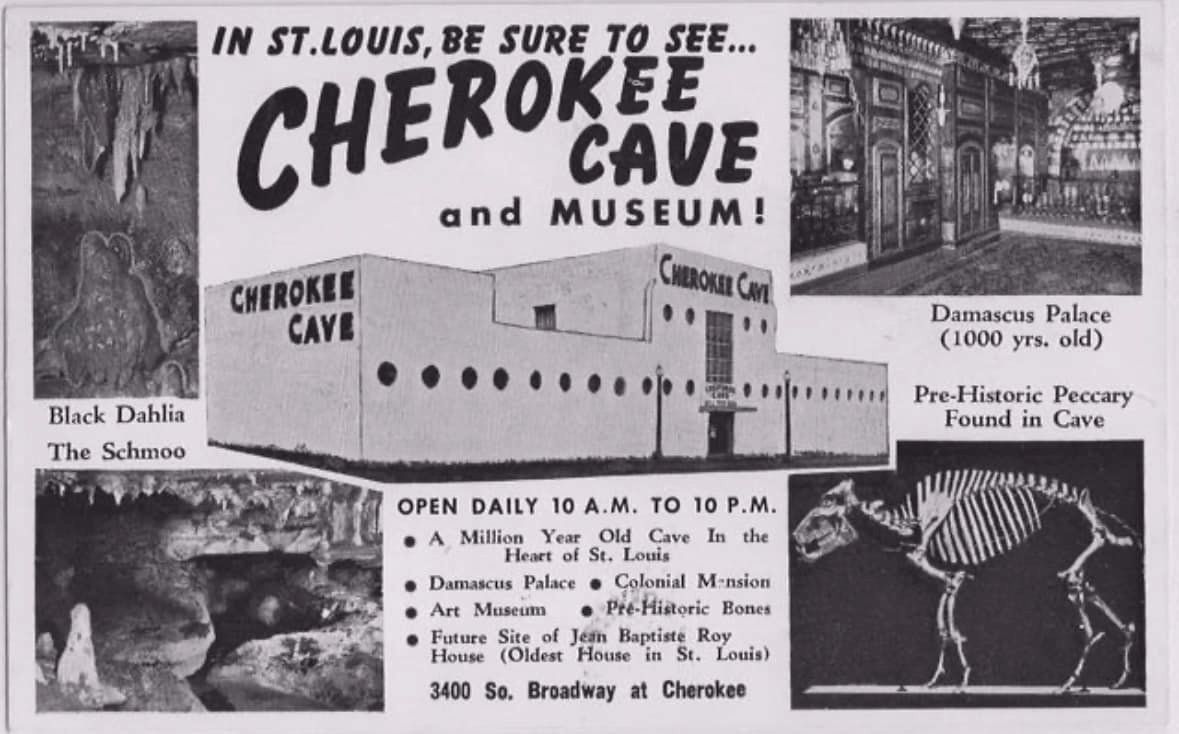
Cherokee Cave
Cherokee Cave was opened as a tourist attraction in 1950 by Lee Hess, a pharmaceutical manufacturer. It took six years of tedious excavation and construction during which historic discoveries of extinct peccary were made. Within 5 years of Cherokee Cave finally opening for business it was already being threatened with demolition by the state who decided on this as the best location for a new highway. By 1961, the cave attraction Hess had spent so long excavating and constructing was shut down, its contents sold and Lee Hess was dying of cancer. Source: MSS Volume 58
I might fill this part out a little bit more in the future, but here's the thing. My areas of study/expertise have always been these 3 things: 1: The history of the Lemp Brewery, 2: The physical layout of the Lemp Brewery and 3: the physical layout of the Lemp/Cherokee Cave. The history of Cherokee Cave itself, on the other hand, has never rated highly on my task list because it was not originally part of the brewery. They are physically connected now, and that's why I became thoroughly familiar with the physical aspects of the entire cave as it exists today. But the specific/unique/distinct history of Cherokee Cave is not one I have dedicated myself to. Besides, I've already linked to the only source you'd ever need for its history. Any attempts by myself to go into more detail would just result in my paraphrasing that book and I'm not going to sit here and do that. In addition to the complete history, the MSS book also has incredible historic photos of the cave and updated maps which more than justify the low cost of the book. Instead, I have located a few of the less common historic photos which I found interesting and included them here. If you want to learn about the history of Cherokee Cave, you will not regret buying that book.
Cherokee Cave